Vineyard Sites · Historicism / Art Nouveau
Sandpichter


© GeoBasis-DE / LVermGeoRP, dl-de/by-2-0
There is no picture of this object yet. Do you have a photo that you would like to make available to the Kulturdatenbank? Submit a picture
Description
This description is only available in German.
Translate with Google opens this page in Google Translate (external service)
Classification
- Subject area
- History
- Category
- Vineyard Sites
- Date
- 1868
Location
- District
- Bernkastel-Wittlich
- Town
- Bernkastel-Kues
- Locality / location
- Wehlen
- Field name
- Sandpichter
- Coordinates
- WGS 84: 49.947523, 7.036962 (Position: exact) WGS 84: 49° 56′ 51.1″ N, 7° 02′ 13.1″ E UTM 32 (ETRS89): E 359166 · N 5534643
Sources
Data sources
- [1] Rheinisches Wörterbuch http://www.woerterbuchnetz.de/RhWB?lemma=pichter
- [2] Karl Christoffel: Die Weinlagen der Mosel und ihre Namensherkunft. Deutung der Lagennanen von Mosel-Saar-Rwer im Rahmen der moselländischen Weinbaugeschichte. Spee-Verlag Trier, 1979. ISBN 3-87760-620-2
- [3] Weinbaukarte Saar-Mosel für den Regierungsbezirk Trier, Clotten 1868. http://www.stadtbibliothek-weberbach.de/shop/reproduktionen/weinbau…
On the internet
Last edited: 24 Aug 2024 Object ID: 39765
https://kulturdb.de/en/objekt/39765-bernkastel-kues-sandpichter
Nearby
The nearest objects
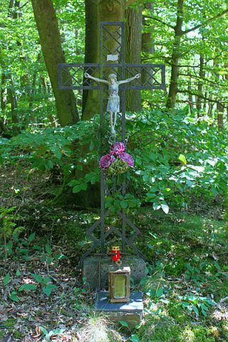
Wayside Shrines and Stations of the Cross
Wegekreuz
Vineyard Sites
Lehnschaft
Viewpoints
Aussichtspunkt
Field Names
Im Knieprech
Vineyard Sites
Rothlai
Field Names
Rothlay
Viewpoints
Aussichtspunkt
 390 m
Wayside Shrines and Stations of the Cross