Burial Mounds · Early Middle Ages / Romanesque
Frühmittelalterliche Fundstelle
- Listed monument

Description
This description is only available in German.
Translate with Google opens this page in Google Translate (external service)
Frühmittelalterliches Gräberfeld mit Kapelle am Kimmlinger-Hof. [1]
Classification
- Subject area
- Archaeological Monuments
- Category
- Burials
- Object type
- Burial Mounds
- Date
- Circa 500 nach Chr. bis circa 1220
Location
- District
- Trier-Saarburg
- Collective municipality
- Trier-Land
- Municipality
- Kordel
- Locality / location
- Kimmlingerhof
- Field name
- Im Möhnerberg
- Coordinates
- WGS 84: 49.827973, 6.597181 (Position: exact) WGS 84: 49° 49′ 40.7″ N, 6° 35′ 49.9″ E UTM 32 (ETRS89): E 327192 · N 5522274
Sources
Data sources
- [1] Fundkarte des südlichen Langmauerbezirks. Auszug aus den Mtbl. Welschbillig 6105 und Trier 6205. In: Trierer Zeitschrift für Geschichte und Kunst des Trierer Landes und seiner Nachbargebiete. Hrsg. Rheinisches Landesmuseum Trier; 34. Jahrgang, 1971. Paulinus Verlag. www.landesmuseum-trier-shop.de
On the internet
Picture credits
- Picture 1: Sammlung Richard Schaffner, Kordel, 2012.
Last edited: 12 Oct 2012 Object ID: 3981
https://kulturdb.de/en/objekt/3981-kordel-fruehmittelalterliche-fundstelle
Nearby
The nearest objects
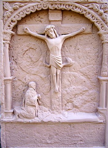 20 m
Wayside Shrines and Stations of the Cross
Kreuzigungsbild
No picture
30 m
Schools
Ehemalige Schule auf dem Kimmlingerhof
No picture
40 m
Settlements
Ehemalige Kapelle am Kimmlingerhof
No picture
50 m
Field Names
Im Möhnerberg
No picture
90 m
Cremation Graves
Brandgräber am Kimmlingerhof
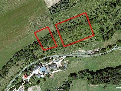 200 m
Vineyard Sites
Ehemaliger Weinanbau am Kimmlingerhof
 280 m
Field Names
Hanfacker
No picture
300 m
Springs