Field Names · Undated
Hundswinkel


© GeoBasis-DE / LVermGeoRP, dl-de/by-2-0
There is no picture of this object yet. Do you have a photo that you would like to make available to the Kulturdatenbank? Submit a picture
Description
This description is only available in German.
Translate with Google opens this page in Google Translate (external service)
Hund – schlechtes Ackerland [1]
Winkel = Deutung: Zu althochdeutsch winkil, mittelhochdeutsch winkel st.M. 'Winkel, Ecke, Ende, abseits gelegener Raum'. Es handelt sich vielfach, insbesondere bei Komposita mit dem GT Winkel, um einen Formnamen für spitz zulaufende, von einer Weg- oder Flussbiegung oder einem Knick im Grenzverlauf begrenzte Flurstücke. Daneben tragen auch weit abgelegene oder verborgene Stellen häufig den Namen im Winkel. [2]
Classification
- Subject area
- History
- Category
- Field Names
- Date
- Undatiert
- Period
- Undated
Location
- District
- Eifelkreis Bitburg-Prüm
- Collective municipality
- Südeifel
- Municipality
- Uppershausen
- Field name
- Hundswinkel
- Coordinates
- WGS 84: 50.055028, 6.315424 (Position: exact) WGS 84: 50° 03′ 18.1″ N, 6° 18′ 55.5″ E UTM 32 (ETRS89): E 307836 · N 5548202
Sources
Data sources
- [1] Dittmaier, Heinrich: Rheinische Flurnamen. Ludwig Röhrscheid Verlag, Bonn, 1963.
- [2] Landesgeschichtliches Informationssystem Hessen (LAGIS), 2015. http://cgi-host.uni-marburg.de/~hlgl/mhfb/id.cgi?lines=0&ex=rs&tabl…
On the internet
Last edited: 6 Dec 2015 Object ID: 39868
https://kulturdb.de/en/objekt/39868-uppershausen-hundswinkel
Nearby
The nearest objects
Field Names
Hundswinkel
Field Names
Nasswies
Lime Kilns
Ehemaliger Kalkofen
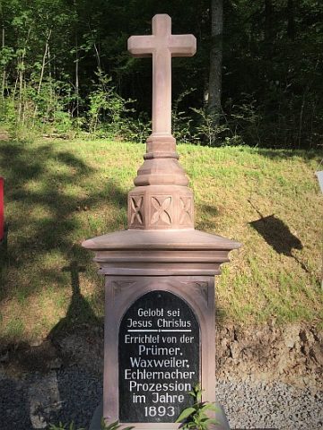 490 m
Wayside Shrines and Stations of the Cross
Prozessionskreuz
Field Names
Hundswinkel
Field Names
Im Rödchen
Place Names / Local History
Ortsgeschichte Heilbach-Wehrhauserhof
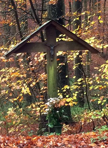 750 m
Wayside Shrines and Stations of the Cross