Street Names · 20th Century
Hüllenburg


© GeoBasis-DE / LVermGeoRP, dl-de/by-2-0
There is no picture of this object yet. Do you have a photo that you would like to make available to the Kulturdatenbank? Submit a picture
Description
This description is only available in German.
Translate with Google opens this page in Google Translate (external service)
In der alten Schulchronik wird "Höllenburg" als Ansiedlungsgebiet für die 1642 aus Grenderich geflüchteten Familien genannt. Wie eine Karte von 1778 beweist, standen hier kaum Häuser. Doch befand sich früher eine Siedlung in diesem Distrikt. Seltsamerweise konnte dieser Flurname in keiner älteren Urkunde gefunden werden, auch nicht in der Landaufnahme von 1720. (Schömer Gusenburger Ortskunde 1964). [1]
Classification
- Subject area
- History
- Category
- Place Names / Local History
- Object type
- Street Names
- Date
- 1965
- Period
- 20th Century
Location
- District
- Trier-Saarburg
- Collective municipality
- Hermeskeil
- Municipality
- Gusenburg
- Street
- Hüllenburg
- Field name
- Ortslage
- Coordinates
- WGS 84: 49.633650, 6.902460 (Position: exact) WGS 84: 49° 38′ 01.1″ N, 6° 54′ 08.9″ E UTM 32 (ETRS89): E 348542 · N 5500012
Sources
Data sources
On the internet
Last edited: 11 Dec 2015 Object ID: 40388
https://kulturdb.de/en/objekt/40388-gusenburg-huellenburg
Nearby
The nearest objects
Street Names
Kirchstraße
Street Names
Bierfelderstraße
Street Names
Zum Kreuzbaum
 80 m
War Memorials
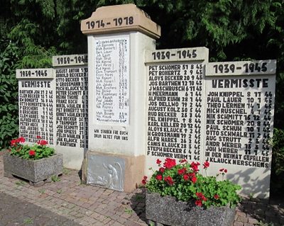
Kriegerdenkmal
 100 m
Catholic Churches
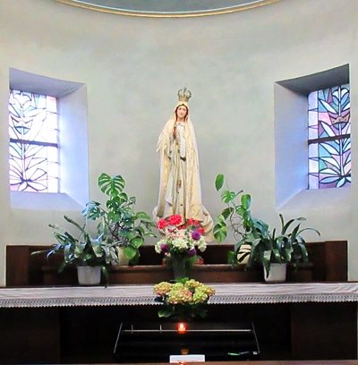
Kirche Erscheinung des Herrn - Innenausstattung
 100 m
Wayside Shrines and Stations of the Cross
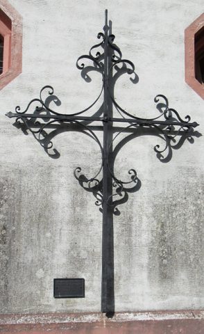
Kirche Erscheinung des Herrn - Turmkreuz
 100 m
Catholic Churches
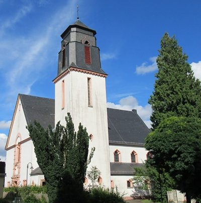
Kirche Erscheinung des Herrn
 110 m
Wayside Shrines and Stations of the Cross