Street Names · 20th Century
Waldstraße


© GeoBasis-DE / LVermGeoRP, dl-de/by-2-0
There is no picture of this object yet. Do you have a photo that you would like to make available to the Kulturdatenbank? Submit a picture
Description
This description is only available in German.
Translate with Google opens this page in Google Translate (external service)
Dieses Baugebiet (Bauernwald II) wurde erst 1998 erschlossen. Im ersten Baujahr 1999 entstanden hier bereits 4 Häuser, heute sind es 14. Die einzige Straße erhielt den Namen "Waldstraße". [1]
Classification
- Subject area
- History
- Category
- Place Names / Local History
- Object type
- Street Names
- Date
- 1965
- Period
- 20th Century
Location
- District
- Trier-Saarburg
- Collective municipality
- Hermeskeil
- Municipality
- Gusenburg
- Street
- Waldstraße
- Field name
- Ortslage
- Coordinates
- WGS 84: 49.638200, 6.895200 (Position: exact) WGS 84: 49° 38′ 17.5″ N, 6° 53′ 42.7″ E UTM 32 (ETRS89): E 348032 · N 5500533
Sources
Data sources
On the internet
Last edited: 11 Dec 2015 Object ID: 40389
https://kulturdb.de/en/objekt/40389-gusenburg-waldstrasse
Nearby
The nearest objects
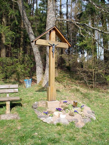 230 m
Wayside Shrines and Stations of the Cross
Kreuz am Kellerweg
Extraction and Processing of Raw Materials
Ehemaliger Steinbruch
Street Names
Im Feldchen
Street Names
Bachstraße
Field Names
Auf dem Feldchen
Washing Places
Ehemaliger Waschplatz
Field Names
Im Bruchborn
Field Names