Street Names · 20th Century
Hauptstraße


© GeoBasis-DE / LVermGeoRP, dl-de/by-2-0
There is no picture of this object yet. Do you have a photo that you would like to make available to the Kulturdatenbank? Submit a picture
Description
This description is only available in German.
Translate with Google opens this page in Google Translate (external service)
Die Hauptstraße ist zugleich Durchgangsstraße (sie führt durch den ganzen Ort und ist zugleich eine Landesstraße (L147) und ist ca. 900 m lang. Fast alle Seitenstraßen beginnen an der Hauptstraße, links mit ungeraden und rechts mit geraden Hausnummern. [1]
Classification
- Subject area
- History
- Category
- Place Names / Local History
- Object type
- Street Names
- Date
- 1965
- Period
- 20th Century
Location
- District
- Trier-Saarburg
- Collective municipality
- Hermeskeil
- Municipality
- Gusenburg
- Street
- Hauptstraße
- Field name
- Ortslage
- Coordinates
- WGS 84: 49.638080, 6.899960 (Position: exact) WGS 84: 49° 38′ 17.1″ N, 6° 53′ 59.9″ E UTM 32 (ETRS89): E 348375 · N 5500510
Sources
Data sources
On the internet
Last edited: 11 Dec 2015 Object ID: 40398
https://kulturdb.de/en/objekt/40398-gusenburg-hauptstrasse
Nearby
The nearest objects
Street Names
Kreuzstraße
Street Names
Zum Bauernwald
Street Names
Im Feldchen
Street Names
Gartenstraße
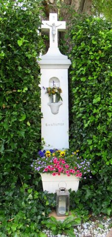 130 m
Wayside Shrines and Stations of the Cross
Schaftkreuz von 1906
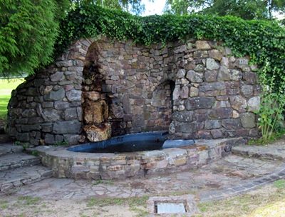 140 m
Works of Art
Grotte mit Brunnen
Street Names
Am Sportplatz
Extraction and Processing of Raw Materials