Rocks · Undated
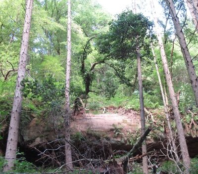
Felsen am Butzerbach
- Listed monument


© GeoBasis-DE / LVermGeoRP, dl-de/by-2-0
There is no picture of this object yet. Do you have a photo that you would like to make available to the Kulturdatenbank? Submit a picture
Description
This description is only available in German.
Translate with Google opens this page in Google Translate (external service)
Natürlicher Silikatfels. Schutzstatus: Schutz zur Erhaltung von Lebensgemeinschaften. Biotoptypen der gesetzlich geschützten Biotope. [1]
Classification
- Subject area
- Natural Features
- Category
- Rocks
- Date
- Undatiert
- Period
- Undated
Location
- District
- Trier-Saarburg
- Collective municipality
- Trier-Land
- Municipality
- Kordel
- Locality / location
- Burg Ramstein
- Field name
- Im Ramsteinerberg
- Coordinates
- WGS 84: 49.824780, 6.639010 (Position: exact) WGS 84: 49° 49′ 29.2″ N, 6° 38′ 20.4″ E UTM 32 (ETRS89): E 330189 · N 5521823
Sources
Data sources
On the internet
map.naturschutz.rlp.de/cocoon/osiris/html/7660100?GISPADID=1617041
Last edited: 28 Dec 2015 Object ID: 40429
https://kulturdb.de/en/objekt/40429-kordel-felsen-am-butzerbach
Nearby
The nearest objects
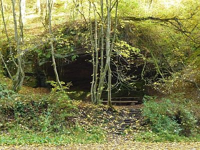 20 m
Caves
Sogenannte Silvesterhöhle
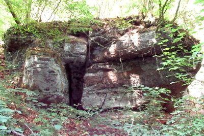 40 m
Rocks
Felsen am Butzerbach
Rocks
Felsen am Butzerbach
 40 m
Charcoal Kilns
Ehemaliger Meilerplatz
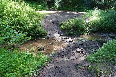 40 m
Fords
Furt durch den Butzerbach (1)
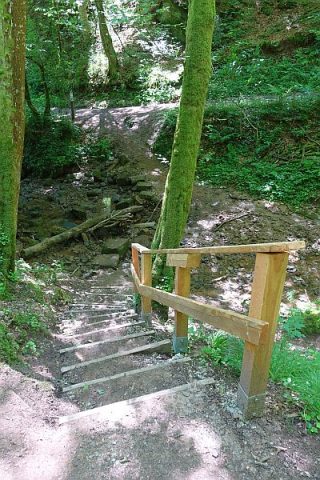 60 m
Fords
Furt durch den Butzerbach (2)
 70 m
Rocks
Felsen am Butzerbach
90 m
Charcoal Kilns