Execution Sites · Undated
Ehemaliger Pranger vor dem Scheerenhaus


© GeoBasis-DE / LVermGeoRP, dl-de/by-2-0
There is no picture of this object yet. Do you have a photo that you would like to make available to the Kulturdatenbank? Submit a picture
Description
This description is only available in German.
Translate with Google opens this page in Google Translate (external service)
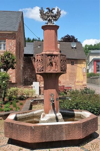
An dieser Stelle stand früher der Pranger (das Halseisen). Heute ziert der Dorfbrunnen diesen historichen Platz. [1]
Classification
- Subject area
- History
- Category
- Legal Monuments
- Object type
- Execution Sites
- Date
- Undatiert
- Period
- Undated
Location
- District
- Bernkastel-Wittlich
- Collective municipality
- Wittlich-Land
- Municipality
- Dreis
- Street
- Ecke Freie Reichsstr. / Kirchstraße
- Field name
- Ortslage
- Coordinates
- WGS 84: 49.940590, 6.814640 (Position: exact) WGS 84: 49° 56′ 26.1″ N, 6° 48′ 52.7″ E UTM 32 (ETRS89): E 343195 · N 5534315
Sources
Data sources
- [1] Paul Stoffel: Chronik des ehemaligen freien Reichsdorfes Dreis. Hrsg. Ortsgemeinde Dreis, 1985.
On the internet
Last edited: 5 Jan 2004 Object ID: 40487
https://kulturdb.de/en/objekt/40487-dreis-ehemaliger-pranger-vor-dem-scheerenhaus
Nearby
The nearest objects
 less than 10 m
Works of Art
Dorfbrunnen
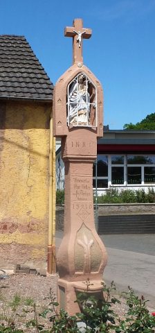 less than 10 m
Wayside Shrines and Stations of the Cross
Prangerkreuz
Farmhouses and Farm Buildings
Wohnhaus
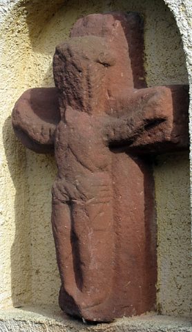 20 m
Execution Sites
Galgenkreuz
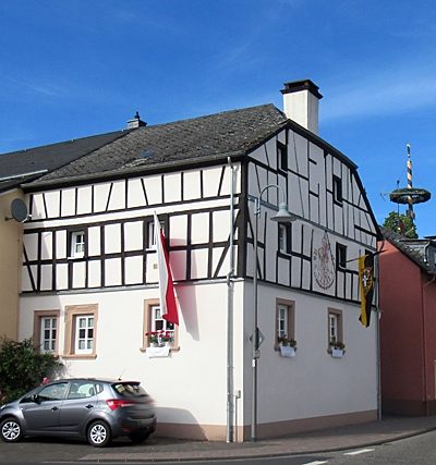 30 m
Farmhouses and Farm Buildings
Wohnhaus
 40 m
Works of Art
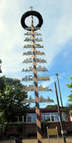
Dreiser Zunftbaum
Farmhouses and Farm Buildings
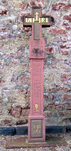
Türeinfassung
 80 m
Wayside Shrines and Stations of the Cross