Burial Sites · 20th Century
Friedhof - Grabsteine der Kriegsopfer


Description
This description is only available in German.
Translate with Google opens this page in Google Translate (external service)
Grabsteine der Kriegsopfer des 2. Weltkrieges. [1]
Classification
- Subject area
- Architectural and Art Monuments
- Category
- Religious Buildings
- Object type
- Burial Sites
- Date
- Nach 1945
- Period
- 20th Century
Location
- District
- Trier-Saarburg
- Collective municipality
- Trier-Land
- Municipality
- Kordel
- Street
- Friedhofstraße
- Field name
- Auf der Lay
- Coordinates
- WGS 84: 49.843180, 6.639780 (Position: exact) WGS 84: 49° 50′ 35.4″ N, 6° 38′ 23.2″ E UTM 32 (ETRS89): E 330308 · N 5523867
Sources
Data sources
- [1] Anton Obser: Kordel. Geschichte der Kylltalgemeinde. Hrsg. Ortsgemeinde Kordel, 1982.
On the internet
Picture credits
Last edited: 11 May 2024 Object ID: 40500
https://kulturdb.de/en/objekt/40500-kordel-friedhof-grabsteine-der-kriegsopfer
Nearby
The nearest objects
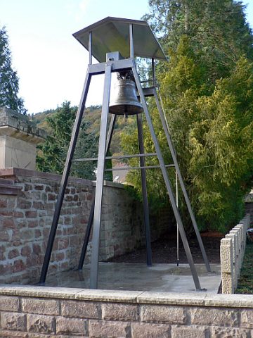 less than 10 m
Bell Towers
Turm mit Sankt-Amandus-Glocke
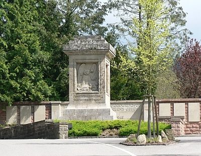 10 m
War Memorials
Kriegerehrenmal am Friedhof
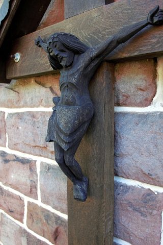 20 m
Burial Sites
Friedhof - Kruzifix an der Trauerhalle
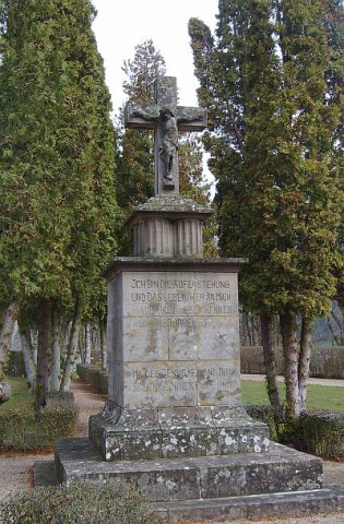 40 m
War Memorials
Friedhofskreuz
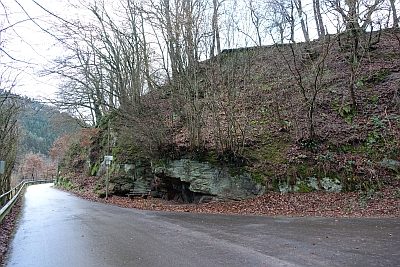 80 m
Rocks
Fels am Friedhof Kordel
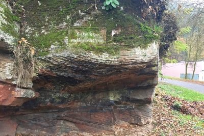 100 m
Monuments
Gedenktafel am Sportplatz
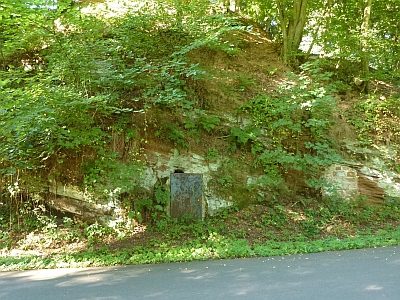 120 m
Caves
Felsenhöhle
 130 m
Field Names