Field Names · Undated
Weifelsjunkerabseit


© GeoBasis-DE / LVermGeoRP, dl-de/by-2-0
There is no picture of this object yet. Do you have a photo that you would like to make available to the Kulturdatenbank? Submit a picture
Description
This description is only available in German.
Translate with Google opens this page in Google Translate (external service)
Grundstück, das sich im Besitz eines Junkers befand. [1]
Classification
- Subject area
- History
- Category
- Field Names
- Date
- Undatiert
- Period
- Undated
Location
- District
- Bernkastel-Wittlich
- Collective municipality
- Wittlich-Land
- Locality / location
- Drei-Tannenhof
- Field name
- Weifelsjunkerabseit
- Coordinates
- WGS 84: 50.075632, 6.815880 (Position: exact) WGS 84: 50° 04′ 32.3″ N, 6° 48′ 57.2″ E UTM 32 (ETRS89): E 343723 · N 5549325
Sources
Data sources
- [1] Meyers Großes Konversationslexikon http://woerterbuchnetz.de/
On the internet
Last edited: 3 Mar 2016 Object ID: 40675
https://kulturdb.de/en/objekt/40675-manderscheid-bernkastel-wittlich-weifelsjunkerabseit
Nearby
The nearest objects
Field Names
Weifelsjunkerrechtseit
Viewpoints
Aussichtspunkt Weifelsjunk
 540 m
Chapels
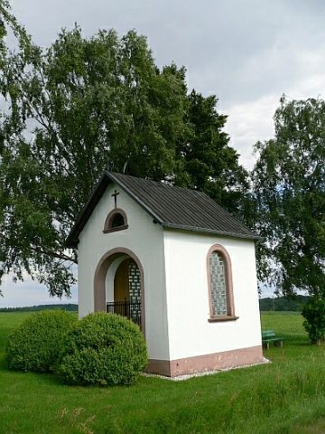
Spanner Kapellchen
Field Names
Ameisenkäulchen
Viewpoints
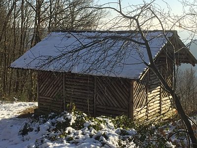
Ehemaliger Aussichtspunkt Hubertusruh
 860 m
Viewpoints
Aussichtspunkt Jakobsplatz
Viewpoints
Ehemaliger Aussichtspunkt Helenenblick
Rocks