Farmhouses and Farm Buildings · Neoclassicism
Hofanlage
- Listed monument


© GeoBasis-DE / LVermGeoRP, dl-de/by-2-0
There is no picture of this object yet. Do you have a photo that you would like to make available to the Kulturdatenbank? Submit a picture
Description
This description is only available in German.
Translate with Google opens this page in Google Translate (external service)
Streckhof, erste Hälfte des 19. Jahrhunderts, Wohnhaus mit Treppengiebel, dreiteilige Scheune. [1]
Classification
- Subject area
- Architectural and Art Monuments
- Category
- Residential and Farm Buildings
- Object type
- Farmhouses and Farm Buildings
- Date
- Erste Hälfte des 19. Jahrhunderts
- Period
- Neoclassicism
Location
- District
- Eifelkreis Bitburg-Prüm
- Collective municipality
- Speicher
- Municipality
- Spangdahlem
- Locality / location
- Spang
- Street
- Hauptstraße 36
- Field name
- Ortslage
- Coordinates
- WGS 84: 49.983270, 6.680590 (Position: exact) WGS 84: 49° 58′ 59.8″ N, 6° 40′ 50.1″ E UTM 32 (ETRS89): E 333725 · N 5539349
Sources
Data sources
- [1] Denkmalliste des Landes Rheinland-Pfalz (Stand: 17. September 2014).
On the internet
Last edited: 7 Mar 2016 Object ID: 40771
https://kulturdb.de/en/objekt/40771-spangdahlem-hofanlage
Nearby
The nearest objects
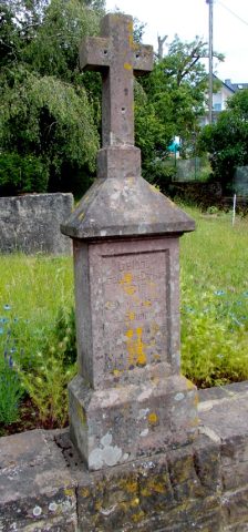 30 m
Wayside Shrines and Stations of the Cross
Wegekreuz
Farmhouses and Farm Buildings
Quereinhaus
Field Names
Burpesch
Schools
Schulhaus
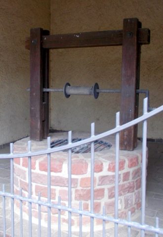 100 m
Fountains and Wells
Dorfbrunnen
Field Names
Backestriesch
Farmhouses and Farm Buildings
Wohnhaus
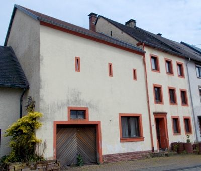 120 m
Town Houses and Commercial Buildings