Wayside Shrines and Stations of the Cross · Renaissance
Wolfskreuz


Description
This description is only available in German.
Translate with Google opens this page in Google Translate (external service)
Schaftkreuz aus der Mitte des 17. Jahrhunderts. [...] Eine Inschrift fehlt völlig, lediglich ein Wappenschild schmückt den Kreuzschaft. Darin sind Hammer und Meißel als Berufszeichen des Steinmetzes zu erkennen. [1]
Classification
- Subject area
- Architectural and Art Monuments
- Category
- Religious Buildings
- Object type
- Wayside Shrines and Stations of the Cross
- Date
- Mitte des 17. Jahrhunderts
- Period
- Renaissance
Location
- District
- Bernkastel-Wittlich
- Collective municipality
- Wittlich-Land
- Municipality
- Dreis
- Field name
- Aufm Wald
- Coordinates
- WGS 84: 49.944565, 6.817170 (Position: exact) WGS 84: 49° 56′ 40.4″ N, 6° 49′ 01.8″ E UTM 32 (ETRS89): E 343390 · N 5534751
Sources
Data sources
- [1] Steinerne Zeitzeugen. Der Dreiser Kreuze-Weg, ein kulturgeschichtlicher Wanderweg zu den Wegekreuzen und Bildstöcken in der Gemarkung Dreis. Hrsg.: Arbeitsgruppe Wegekreuze, Dreis; Verfasser: Alfred Herges; 2012. http://www.gemeinde-dreis.de/index.php?section=Shop
On the internet
Picture credits
Last edited: 21 Jun 2022 Object ID: 40830
https://kulturdb.de/en/objekt/40830-dreis-wolfskreuz
Nearby
The nearest objects
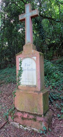 less than 10 m
Wayside Shrines and Stations of the Cross
Bildstock
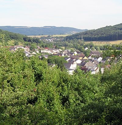 60 m
Viewpoints
Aussichtspunkt oberhalb des Wolfskreuzes
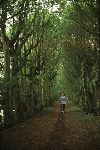 200 m
Beeches
Laubengang
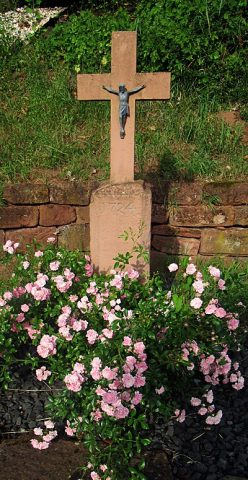 200 m
Wayside Shrines and Stations of the Cross
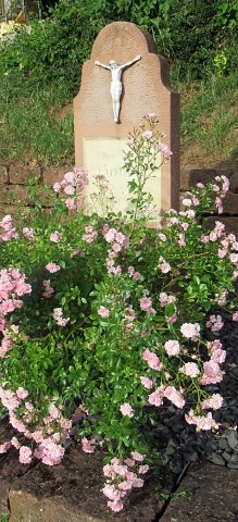
Sogenanntes Hugenottenkreuz
 200 m
Wayside Shrines and Stations of the Cross
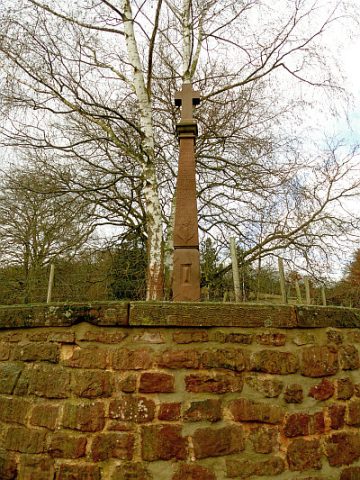
Schrifttafel
 260 m
Wayside Shrines and Stations of the Cross
Schaftkreuz im Schlosspark
Farmhouses and Farm Buildings
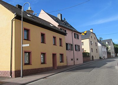
Wohnhaus
 360 m
Farmhouses and Farm Buildings