Field Names · Undated
Auf Exenbaul


© GeoBasis-DE / LVermGeoRP, dl-de/by-2-0
There is no picture of this object yet. Do you have a photo that you would like to make available to the Kulturdatenbank? Submit a picture
Description
This description is only available in German.
Translate with Google opens this page in Google Translate (external service)
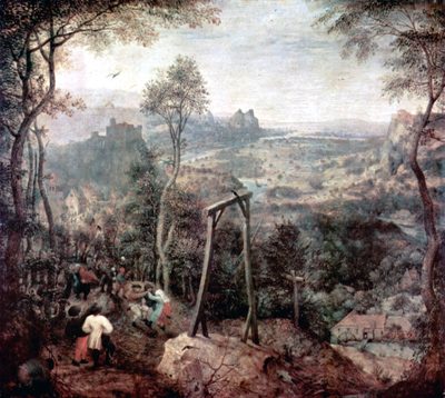
"Exenbuwell" bedeutet soviel wie "Axthügel". Es ist anzunehmen, dass in früheren Zeiten der Wasenmeister oder auch Scharfrichter genannt, hier die VeRuhrteilten mit der Axt gerichtet hatte. [1]
Classification
- Subject area
- History
- Category
- Field Names
- Date
- Undatiert
- Period
- Undated
Location
- District
- Bernkastel-Wittlich
- Collective municipality
- Wittlich-Land
- Municipality
- Dreis
- Street
- Auf Exenbaul
- Field name
- Auf Exenbaul
- Coordinates
- WGS 84: 49.941550, 6.826340 (Position: exact) WGS 84: 49° 56′ 29.6″ N, 6° 49′ 34.8″ E UTM 32 (ETRS89): E 344038 · N 5534397
Sources
Data sources
- [1] Günter Hesse, Andreas Wisniewski: Wittlich-Land. Geschichte einer Verbandsgemeinde zwischen Vulkaneifel und Mosel. Hrsg. Verbandsgemeinde Wittlich-Land 1990.
On the internet
Last edited: 16 Apr 2016 Object ID: 40850
https://kulturdb.de/en/objekt/40850-dreis-auf-exenbaul
Nearby
The nearest objects
 20 m
Execution Sites
Gerichtsbarkeit und Landeshoheit
Field Names
Unter Exenbaul
Field Names
Unter Exenbaul
Road Transport
Katertsweg
 540 m
Wayside Shrines and Stations of the Cross
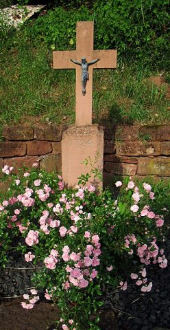
Schrifttafel
 540 m
Wayside Shrines and Stations of the Cross
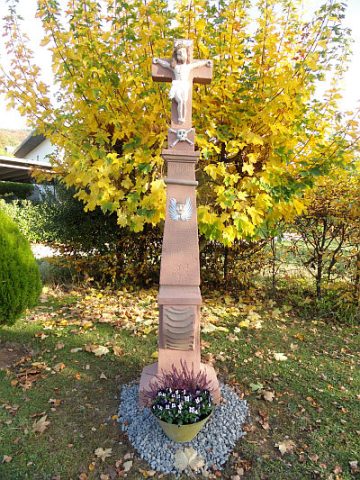
Sogenanntes Hugenottenkreuz
 610 m
Wayside Shrines and Stations of the Cross
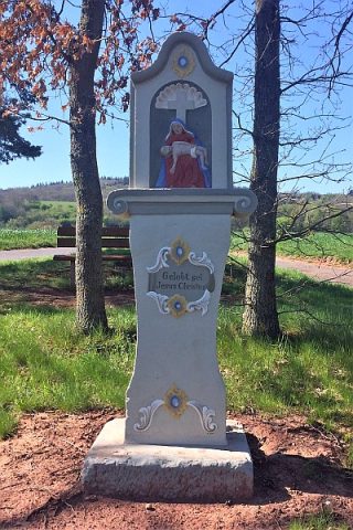
Pestkreuz
 760 m
Wayside Shrines and Stations of the Cross