Fords · Neoclassicism
Ehemalige Saarfurt


© GeoBasis-DE / LVermGeoRP, dl-de/by-2-0
There is no picture of this object yet. Do you have a photo that you would like to make available to the Kulturdatenbank? Submit a picture
Classification
- Subject area
- Architectural and Art Monuments
- Category
- Economy, Trade and Transport
- Object type
- Fords
- Date
- 1843
- Period
- Neoclassicism
Location
- District
- Trier-Saarburg
- Collective municipality
- Konz
- Municipality
- Wiltingen
- Field name
- [Saar]
- Coordinates
- WGS 84: 49.656850, 6.586190 (Position: exact) WGS 84: 49° 39′ 24.7″ N, 6° 35′ 10.3″ E UTM 32 (ETRS89): E 325789 · N 5503277
Sources
Data sources
- [1] Preußische Kartenaufnahme 1:25000 Uraufnahme (1843-1878) © LVermGeoRP
On the internet
Last edited: 13 Jun 2016 Object ID: 40964
https://kulturdb.de/en/objekt/40964-wiltingen-ehemalige-saarfurt
Nearby
The nearest objects
No picture
150 m
Fortresses and Bunkers
Westwall - Maschinengewehr-Schartenstand
No picture
200 m
Fortresses and Bunkers
Westwall - Maschinengewehr-Schartenstand
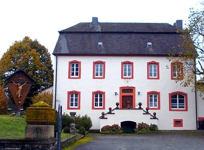 200 m
Rectories
Pfarrhaus Wiltingen
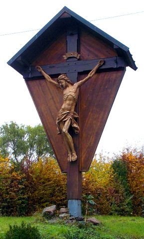 210 m
Wayside Shrines and Stations of the Cross
Kreuz vor dem Pfarrhaus
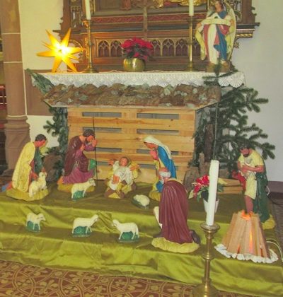 260 m
Nativity Scenes
Sankt Martin - Weihnachtskrippe
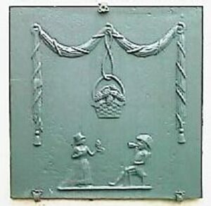 270 m
Works of Art
Weingut Van Volxem - Takenplatte
 290 m
Works of Art
Feuersprung
No picture
310 m
Fortresses and Bunkers