Town Houses and Commercial Buildings · Baroque / Rococo
Sogenanntes Wilhelmsche Haus


© GeoBasis-DE / LVermGeoRP, dl-de/by-2-0
There is no picture of this object yet. Do you have a photo that you would like to make available to the Kulturdatenbank? Submit a picture
Description
This description is only available in German.
Translate with Google opens this page in Google Translate (external service)
Gefälliger Barockbau.
Classification
- Subject area
- Architectural and Art Monuments
- Category
- Residential and Farm Buildings
- Object type
- Town Houses and Commercial Buildings
- Date
- Circa 1700 bis circa 1780
- Period
- Baroque / Rococo
Location
- District
- Bernkastel-Wittlich
- Collective municipality
- Bernkastel-Kues
- Municipality
- Neumagen-Dhron
- Locality / location
- Neumagen
- Field name
- Ortslage
- Coordinates
- WGS 84: 49.854878, 6.896218 (Position: within the village) WGS 84: 49° 51′ 17.6″ N, 6° 53′ 46.4″ E UTM 32 (ETRS89): E 348780 · N 5524618
Sources
On the internet
Last edited: 26 May 2010 Object ID: 4111
https://kulturdb.de/en/objekt/4111-neumagen-dhron-sogenanntes-wilhelmsche-haus
Nearby
The nearest objects
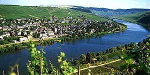 less than 10 m
Town Houses and Commercial Buildings
Bürgerhäuser
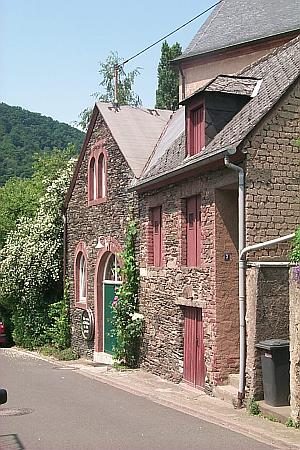 less than 10 m
Administrative Buildings
Altes Eichamt
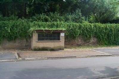 less than 10 m
Catering, Inns and Hotels
Gemeindewaage
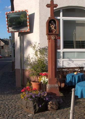 50 m
Wayside Shrines and Stations of the Cross
Nischenkreuz
Vineyard Sites
Engelgrube
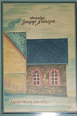 60 m
Jewish History
Jüdische Geschichte Neumagen
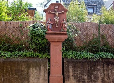 60 m
Wayside Shrines and Stations of the Cross
Kreuzigungsbildstock
Courthouses