Burial Mounds · Undated
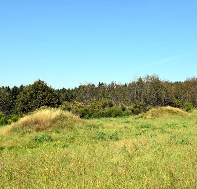
Hügelgrab
- Listed monument

Classification
- Subject area
- Archaeological Monuments
- Category
- Burials
- Object type
- Burial Mounds
- Date
- Undatiert
- Period
- Undated
Location
- District
- Bernkastel-Wittlich
- Collective municipality
- Einheitsgemeinde Morbach
- Municipality
- Morbach
- Locality / location
- Gonzerath
- Field name
- Auf der Heide
- Coordinates
- WGS 84: 49.863490, 7.180950 (Position: exact) WGS 84: 49° 51′ 48.6″ N, 7° 10′ 51.4″ E UTM 32 (ETRS89): E 369269 · N 5525040
Sources
Data sources
- [1] Digitale TK25. Landesamt für Vermessung und Geobasisinformation Rheinland-Pfalz. 2001 (ISBN 3-89637-345-5)
On the internet
Picture credits
- Picture 1: http://www.biebertalonline.de/gemeinde/grab1.jpg
Last edited: 4 Aug 2016 Object ID: 41242
https://kulturdb.de/en/objekt/41242-morbach-huegelgrab
Nearby
The nearest objects
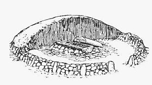 70 m
Burial Mounds
Hügelgrab
No picture
200 m
Wayside Shrines and Stations of the Cross
Wegekreuz
No picture
210 m
Road Transport
Römische Straße
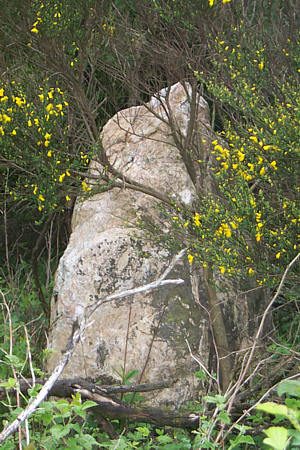 280 m
Standing Stones, Menhirs
Menhir am Archäologiepark Belginum
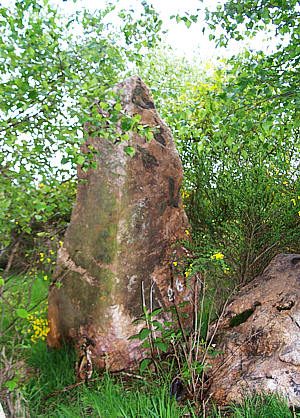 330 m
Standing Stones, Menhirs
Menhirgruppe am Archäologiepark
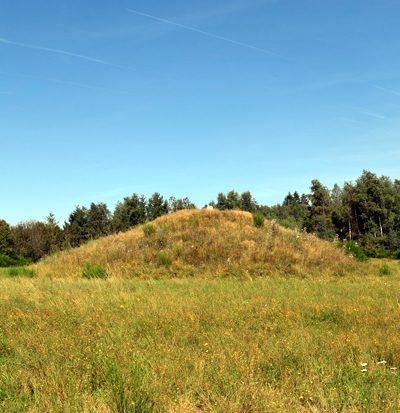 430 m
Burial Mounds
Hügelgräber beim Archäologiepark Belginum
 450 m
Burial Mounds
Hügelgräber beim Archäologiepark Belginum
No picture
500 m
Road Transport