Wayside Shrines and Stations of the Cross · Renaissance
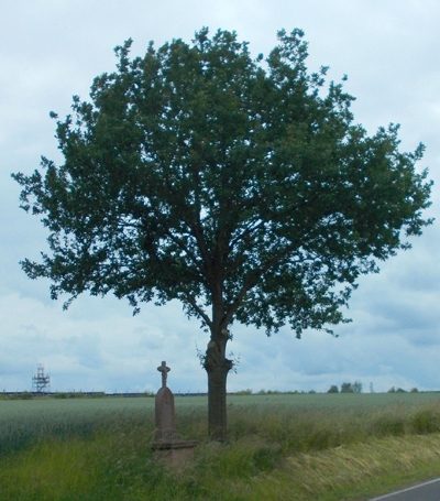
Schaftkreuz
- Listed monument


Description
This description is only available in German.
Translate with Google opens this page in Google Translate (external service)
Schaftkreuz 1634, Abschlusskreuz aus dem 19. Jahrhundert.
Classification
- Subject area
- Architectural and Art Monuments
- Category
- Religious Buildings
- Object type
- Wayside Shrines and Stations of the Cross
- Date
- 1634
- Period
- Renaissance
Location
- District
- Eifelkreis Bitburg-Prüm
- Collective municipality
- Speicher
- Municipality
- Spangdahlem
- Locality / location
- Dahlem
- Street
- Ecke Auf Engelsrech / Hubertusweg
- Field name
- Ortslage
- Coordinates
- WGS 84: 49.988941, 6.689745 (Position: exact) WGS 84: 49° 59′ 20.2″ N, 6° 41′ 23.1″ E UTM 32 (ETRS89): E 334401 · N 5539959
Sources
Data sources
- [1] Denkmalliste des Landes Rheinland-Pfalz (Stand: 17. September 2014)
On the internet
vg-speicher.de/gemeinden/spangdahlem
Picture credits
Last edited: 16 Jun 2020 Object ID: 4139
https://kulturdb.de/en/objekt/4139-spangdahlem-schaftkreuz
Nearby
The nearest objects
No picture
140 m
Field Names
Auf Schrutenpesch
No picture
210 m
Farmhouses and Farm Buildings
Wohnhaus
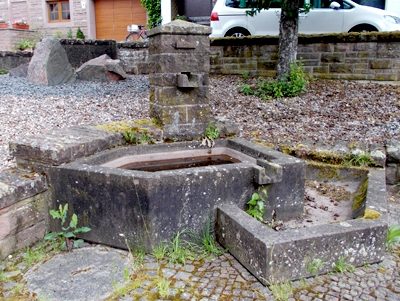 240 m
Fountains and Wells
Laufbrunnen
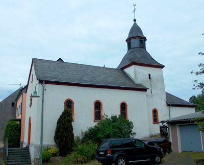 250 m
Catholic Churches
Sankt Hubert
No picture
280 m
Street Names
Burgstraße
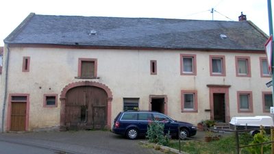 290 m
Town Houses and Commercial Buildings
Quereinhaus
 370 m
Inscriptions
Inschriftplatte
No picture
480 m
Field Names