Extraction and Processing of Raw Materials · Undated
Steinbruch


© GeoBasis-DE / LVermGeoRP, dl-de/by-2-0
There is no picture of this object yet. Do you have a photo that you would like to make available to the Kulturdatenbank? Submit a picture
Classification
- Subject area
- Architectural and Art Monuments
- Category
- Economy, Trade and Transport
- Object type
- Extraction and Processing of Raw Materials
- Date
- Undatiert
- Period
- Undated
Location
- District
- Bernkastel-Wittlich
- Collective municipality
- Wittlich-Land
- Municipality
- Bruch
- Field name
- Aufm Geisenmart
- Coordinates
- WGS 84: 49.961601, 6.784461 (Position: exact) WGS 84: 49° 57′ 41.8″ N, 6° 47′ 04.1″ E UTM 32 (ETRS89): E 341099 · N 5536714
Sources
Data sources
- [1] H. Wolfgang Wagner; Friederike Kremb-Wagner; Martin Koziol; Jörg F. W. Negendank: Trier und Umgebung. (Sammlung geologischer Führer, Band 60). Gebr. Borntraeger, Stuttgart, 2012, 3. völlig neu bearbeitete Auflage. X , 394 Seiten, 170 Abbildungen, 13 Tabellen, 1 Karte. ISBN 978-3-443-15094-5
On the internet
Last edited: 10 Oct 2016 Object ID: 41455
https://kulturdb.de/en/objekt/41455-bruch-steinbruch
Nearby
The nearest objects
No picture
30 m
Wayside Shrines and Stations of the Cross
Wegekreuz
No picture
230 m
Wayside Shrines and Stations of the Cross
Wegekreuz
No picture
260 m
Wayside Shrines and Stations of the Cross
Wegekreuz
No picture
310 m
Extraction and Processing of Raw Materials
Ehemaliger Krugbackofen Auf der Katz
No picture
360 m
Farmhouses and Farm Buildings
Wohnhaus
No picture
460 m
Field Names
In Krummenau
 550 m
Coats of Arms
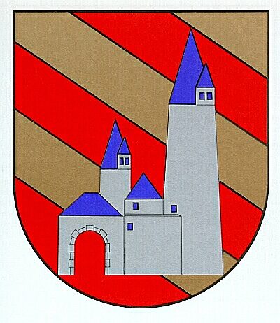
Wappen der Gemeinde Bruch
 550 m
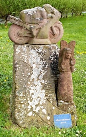
Monuments