Entrenchments · Baroque / Rococo
Ehemalige Feldschanze

Classification
- Subject area
- Architectural and Art Monuments
- Object type
- Entrenchments
- Date
- 1705
- Period
- Baroque / Rococo
Location
- District
- Trier-Saarburg
- Town
- Konz
- Street
- Römerstraße
- Field name
- Auf dem Engst
- Coordinates
- WGS 84: 49.707750, 6.584850 (Position: exact) WGS 84: 49° 42′ 27.9″ N, 6° 35′ 05.5″ E UTM 32 (ETRS89): E 325875 · N 5508938
Sources
Data sources
- [1] Rudolf Molter: Von militärischen Schanzen zum Weingut in Fizen an der Saar. In: Kreisjahrbuch Trier-Saarburg, 2017. Ausschnitt der Karte "Karte der Stadt Trier sambt den herumbgeführten Linnien", 1705, Verf. unbekannt. Städtisches Museum Simeonstift, Inv. Nr. V/511.
On the internet
Picture credits
- Picture 1: Sir Godfrey Kneller [Public domain], via Wikimedia Commons.
Last edited: 10 Nov 2016 Object ID: 41489
https://kulturdb.de/en/objekt/41489-konz-ehemalige-feldschanze
Nearby
The nearest objects
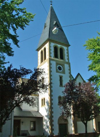 70 m
Protestant Churches
Evangelische Kirche - Außen
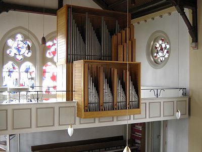 70 m
Organs
Evangelische Kirche - Orgel
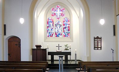 70 m
Protestant Churches
Evangelische Kirche - Innen
No picture
70 m
Fortresses and Bunkers
Westwall - Maschinengewehr-Schartenstand
No picture
250 m
Town Houses and Commercial Buildings
Wohn- und Geschäftshaus
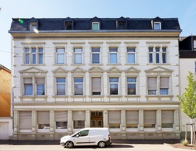 250 m
Town Houses and Commercial Buildings
Wohn- und Geschäftshaus
No picture
300 m
Fortresses and Bunkers
Westwall - Maschinengewehr-Schartenstand
 310 m
Entrenchments