Field Names · Undated
Gefellröder


© GeoBasis-DE / LVermGeoRP, dl-de/by-2-0
There is no picture of this object yet. Do you have a photo that you would like to make available to the Kulturdatenbank? Submit a picture
Description
This description is only available in German.
Translate with Google opens this page in Google Translate (external service)
Rod - Bedeutung: Stelle einer Rodung zum Zwecke der Flurerweiterung oder der Siedlung. [1]
Classification
- Subject area
- History
- Category
- Field Names
- Date
- Undatiert
- Period
- Undated
Location
- District
- Trier-Saarburg
- Collective municipality
- Saarburg-Kell
- Municipality
- Taben-Rodt
- Locality / location
- Lohmühle
- Field name
- Gefellröder
- Coordinates
- WGS 84: 49.550949, 6.601509 (Position: exact) WGS 84: 49° 33′ 03.4″ N, 6° 36′ 05.4″ E UTM 32 (ETRS89): E 326519 · N 5491469
Sources
Data sources
- [1] Heinrich Dittmaier: Rheinische Flurnamen. Ludwig Röhrscheid Verlag, Bonn, 1963.
On the internet
Last edited: 22 Dec 2016 Object ID: 42101
https://kulturdb.de/en/objekt/42101-taben-rodt-gefellroeder
Nearby
The nearest objects
 160 m
Works of Art
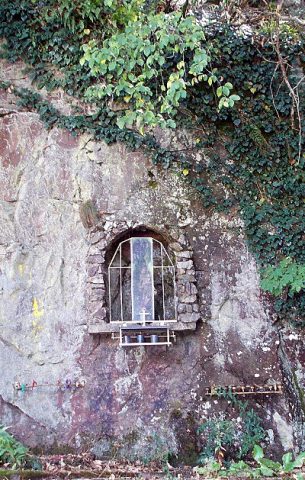
Bildnische mit Muttergottesfigur
Field Names
Auf Gefellröder
Mills
Lohmühle am Breinsbach
 240 m
Battlefields
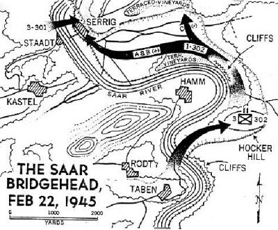
Brückenkopf über die Saar bei Taben
Market Towns
Marktort Taben
Field Names
Unter Gefellröder auf der Schlecht
Fortresses and Bunkers
Westwall - Schartenstand
Fortresses and Bunkers