Field Names · Undated
Oberste Röder


© GeoBasis-DE / LVermGeoRP, dl-de/by-2-0
There is no picture of this object yet. Do you have a photo that you would like to make available to the Kulturdatenbank? Submit a picture
Description
This description is only available in German.
Translate with Google opens this page in Google Translate (external service)
Rod - Bedeutung: Stelle einer Rodung zum Zwecke der Flurerweiterung oder der Siedlung. [1]
Classification
- Subject area
- History
- Category
- Field Names
- Date
- Undatiert
- Period
- Undated
Location
- District
- Trier-Saarburg
- Collective municipality
- Hermeskeil
- Municipality
- Damflos
- Field name
- Oberste Röder
- Coordinates
- WGS 84: 49.673857, 6.984585 (Position: exact) WGS 84: 49° 40′ 25.9″ N, 6° 59′ 04.5″ E UTM 32 (ETRS89): E 354591 · N 5504320
Sources
Data sources
- [1] Heinrich Dittmaier: Rheinische Flurnamen. Ludwig Röhrscheid Verlag, Bonn, 1963.
On the internet
Last edited: 22 Dec 2016 Object ID: 42116
https://kulturdb.de/en/objekt/42116-damflos-oberste-roeder
Nearby
The nearest objects
Fortresses and Bunkers
Westwall - Gefechtsstand (Inf. Komp.führer)
Fortresses and Bunkers
Westwall - Gefechtsstand (Inf. Komp.führer)
Field Names
Alt Röder am Weg
Fortresses and Bunkers
Westwall - Maschinengewehr-Schartenstand
Field Names
Obersten Großen Röder
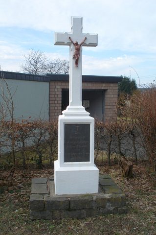 410 m
Wayside Shrines and Stations of the Cross
Kreuz im Hinteren Ecken
Field Names
Untersten Großen Röder
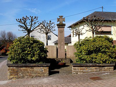 600 m
War Memorials