Viewpoints · Undated
Aussichtspunkt Höcht

Description
This description is only available in German.
Translate with Google opens this page in Google Translate (external service)
Auf Höhenpunkt 390,5 Meter über Normal-Null. [1]
Classification
- Subject area
- Natural Features
- Category
- Viewpoints
- Date
- Undatiert
- Period
- Undated
Location
- District
- Trier-Saarburg
- Collective municipality
- Konz
- Municipality
- Nittel
- Field name
- Hinter Bubüsch
- Coordinates
- WGS 84: 49.643349, 6.469364 (Position: exact) WGS 84: 49° 38′ 36.1″ N, 6° 28′ 09.7″ E UTM 32 (ETRS89): E 317308 · N 5502053
Sources
Data sources
- [1] Wanderkarten im Maßstab 1:50.000 und 1:25.000
On the internet
Picture credits
- Picture 1: © Michael Grün, Trier, 2020.
Last edited: 8 Sep 2020 Object ID: 4261
https://kulturdb.de/en/objekt/4261-nittel-aussichtspunkt-hoecht
Nearby
The nearest objects
No picture
380 m
Forest Names
Klein Bubüsch
No picture
630 m
Forest Names
Groß Bubüsch
No picture
670 m
Field Names
Auf Krischelrödchen
No picture
770 m
Field Names
Domherren Grund
No picture
810 m
Field Names
Im süssen Grund
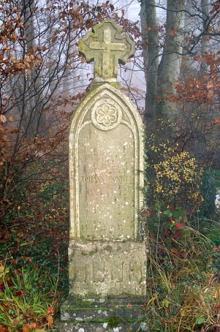 830 m
Wayside Shrines and Stations of the Cross
Sandsteinstele
No picture
870 m
Field Names
Billiger Grund
No picture
920 m
Viewpoints