Viewpoints · Undated
Aussichtspunkt


© GeoBasis-DE / LVermGeoRP, dl-de/by-2-0
There is no picture of this object yet. Do you have a photo that you would like to make available to the Kulturdatenbank? Submit a picture
Classification
- Subject area
- Natural Features
- Category
- Viewpoints
- Date
- Undatiert
- Period
- Undated
Location
- District
- Bernkastel-Wittlich
- Collective municipality
- Bernkastel-Kues
- Municipality
- Minheim
- Field name
- Auf der Buch
- Coordinates
- WGS 84: 49.889690, 6.929220 (Position: exact) WGS 84: 49° 53′ 22.9″ N, 6° 55′ 45.2″ E UTM 32 (ETRS89): E 351259 · N 5528422
Sources
Data sources
- [1] © OpenStreetMap contributors, 2015 www.openstreetmap.org/copyright
On the internet
Last edited: 27 Jan 2017 Object ID: 42698
https://kulturdb.de/en/objekt/42698-minheim-aussichtspunkt
Nearby
The nearest objects
No picture
190 m
Field Names
In der Hostert ober dem Keltersgraben
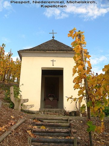 190 m
Chapels
Michelskirch
No picture
250 m
Vineyard Sites
Gruft
No picture
260 m
Viewpoints
Aussichtspunkt Hostert
No picture
270 m
Vineyard Sites
Beim Pichterpfad
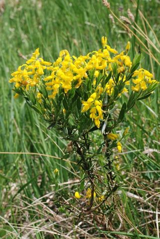 310 m
Field Names
Bei der Ginsterslai
No picture
320 m
Field Names
Beim Michelspütz
No picture
330 m
Vineyard Sites