Field Names · Historicism / Art Nouveau
Auf der Gass


Description
This description is only available in German.
Translate with Google opens this page in Google Translate (external service)
Aus der Katasterkarte von 1857. [1]
Classification
- Subject area
- History
- Category
- Field Names
- Date
- 1857
Location
- District
- Trier-Saarburg
- Collective municipality
- Trier-Land
- Municipality
- Kordel
- Street
- Wehrstraße
- Field name
- Auf der Gass
- Coordinates
- WGS 84: 49.840340, 6.633680 (Position: exact) WGS 84: 49° 50′ 25.2″ N, 6° 38′ 01.2″ E UTM 32 (ETRS89): E 329860 · N 5523565
Sources
Data sources
- [1] Preußische Katasterkarte der Gemeinde Cordel von 1857. Archiv der Ortsgemeinde, 2017.
On the internet
Picture credits
Last edited: 15 Jul 2020 Object ID: 42744
https://kulturdb.de/en/objekt/42744-kordel-auf-der-gass
Nearby
The nearest objects
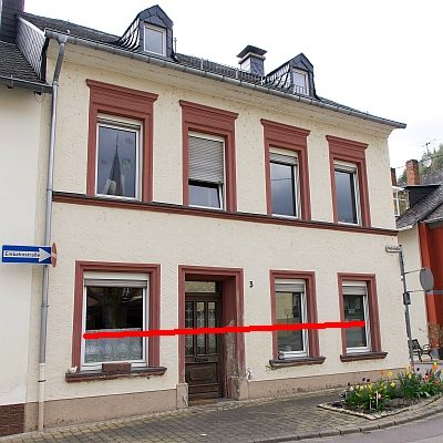 less than 10 m
Flood Marks
Hochwassermarke
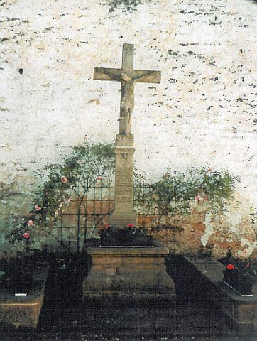 less than 10 m
Monuments
Ehemalige Gedenktafel für Hans Hein
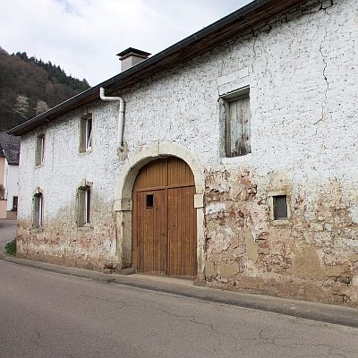 10 m
Farmhouses and Farm Buildings
Ehemaliges Einhaus
 10 m
Farmhouses and Farm Buildings
Ehemaliges Einhaus - Abriss
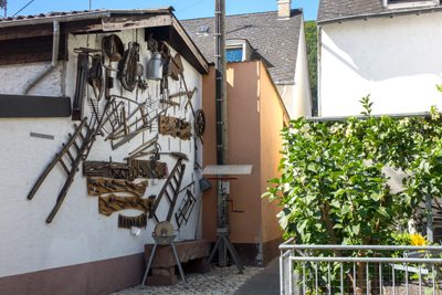 20 m
Exhibitions, Cultural Centres and Memorial Sites
Werkzeugausstellung
 30 m
Exhibitions, Cultural Centres and Memorial Sites
Jugend- und Vereinshaus - Historische Aufnahmen
 40 m
Wayside Shrines and Stations of the Cross
Altarkreuz am Pfarrhaus - frühere Standorte
 50 m
Works of Art