Surveying · Undated
Historischer Grenzstein am Altenhof


Description
This description is only available in German.
Translate with Google opens this page in Google Translate (external service)
Auf der Grenze Ortsgemeinde Aach - Stadt Trier. [1]
Classification
- Subject area
- Architectural and Art Monuments
- Category
- Markers and Monuments
- Object type
- Surveying
- Date
- Undatiert
- Period
- Undated
Location
- District
- Trier-Saarburg
- Collective municipality
- Trier-Land
- Municipality
- Aach
- Street
- Aacher Weg
- Field name
- Agatzenberg
- Coordinates
- WGS 84: 49.783434, 6.626219 (Position: exact) WGS 84: 49° 47′ 00.4″ N, 6° 37′ 34.4″ E UTM 32 (ETRS89): E 329123 · N 5517256
Sources
Data sources
- [1] Jörg Busch, Trier-Biewer, 2017.
On the internet
Picture credits
Last edited: 14 Feb 2017 Object ID: 42748
https://kulturdb.de/en/objekt/42748-aach-historischer-grenzstein-am-altenhof
Nearby
The nearest objects
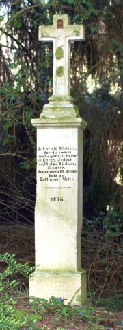 50 m
Wayside Shrines and Stations of the Cross
Wegekreuz am Altenhof
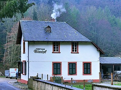 100 m
Forester's Lodges
Sogenannter Altenhof
 170 m
Lime Trees
Linde am Forsthaus Altenhof
190 m
Thujas
Lebensbaum am Forsthaus Altenhof
200 m
Thujas
Lebensbaum am Forsthaus Altenhof
No picture
250 m
Field Names
Im Grund
No picture
250 m
Field Names
Hinter dem Bungert
No picture
320 m
Field Names