Field Names · Undated
Im Holländerchen


© GeoBasis-DE / LVermGeoRP, dl-de/by-2-0
There is no picture of this object yet. Do you have a photo that you would like to make available to the Kulturdatenbank? Submit a picture
Description
This description is only available in German.
Translate with Google opens this page in Google Translate (external service)
Holländer – Hier früher Vorkommen von Holunderbäumen (althochdeutsch holuntar), mittelhochdeutsch "Heilender". [1]
Classification
- Subject area
- History
- Category
- Field Names
- Date
- Undatiert
- Period
- Undated
Location
- District
- Bernkastel-Wittlich
- Collective municipality
- Thalfang am Erbeskopf
- Municipality
- Thalfang
- Locality / location
- Bäsch
- Field name
- Im Holländerchen
- Coordinates
- WGS 84: 49.743680, 7.007850 (Position: exact) WGS 84: 49° 44′ 37.2″ N, 7° 00′ 28.3″ E UTM 32 (ETRS89): E 356476 · N 5512037
Sources
Data sources
- [1] Hilgers, Beatriz: Cannis Kenn - Geschichte und Geschichten eines Moselortes - aus der Reihe: Schriftenreihe Ortschroniken des Trierer Landes - Band: 18. Gemeinde Kenn, 1985.
On the internet
Last edited: 16 Feb 2017 Object ID: 42782
https://kulturdb.de/en/objekt/42782-thalfang-im-hollaenderchen
Nearby
The nearest objects
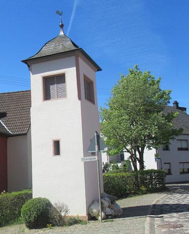 130 m
Bell Towers
Glockenturm
Place Names / Local History
Die Mark Thalfang
Field Names
Auf der Krummhaag
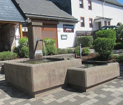 170 m
Fountains and Wells
Laufbrunnen
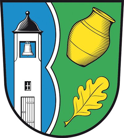 190 m
Coats of Arms
Wappen des Ortsbezirks Bäsch
Field Names
In der Dell
Field Names
Auf der Pfaffenhaag
Field Names