Entrenchments · Undated
Ehemalige Schanze


© GeoBasis-DE / LVermGeoRP, dl-de/by-2-0
There is no picture of this object yet. Do you have a photo that you would like to make available to the Kulturdatenbank? Submit a picture
Classification
- Subject area
- Architectural and Art Monuments
- Object type
- Entrenchments
- Date
- Undatiert
- Period
- Undated
Location
- District
- Trier-Saarburg
- Collective municipality
- Ruwer
- Municipality
- Waldrach
- Field name
- Auf der Schwarzgrube
- Coordinates
- WGS 84: 49.760440, 6.761010 (Position: exact) WGS 84: 49° 45′ 37.6″ N, 6° 45′ 39.6″ E UTM 32 (ETRS89): E 338749 · N 5514402
Sources
Data sources
- [1] Kartenaufnahme der Rheinlande durch Tranchot und von Müffling (1803-1820) © GeoBasis-DE / LVermGeoRP 2016, dl-de/by-2-0, www.lvermgeo.rlp.de [Daten bearbeitet]© GeoBasis-DE / LVermGeoRP 2016, dl-de/by-2-0,
On the internet
Last edited: 28 Mar 2017 Object ID: 42888
https://kulturdb.de/en/objekt/42888-waldrach-ehemalige-schanze
Nearby
The nearest objects
No picture
120 m
Entrenchments
Ehemalige Schanze
No picture
170 m
Entrenchments
Ehemalige Schanze
No picture
250 m
Entrenchments
Ehemalige Schanze
No picture
440 m
Field Names
Bei Flieberborn
No picture
540 m
Field Names
Bei Flieberborn
No picture
580 m
Extraction and Processing of Raw Materials
Stolleneingang
No picture
710 m
Field Names
Auf den Galdgraben
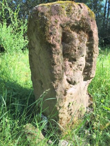 880 m
Execution Sites