Street Names · Undated
Schiffenecken


© GeoBasis-DE / LVermGeoRP, dl-de/by-2-0
There is no picture of this object yet. Do you have a photo that you would like to make available to the Kulturdatenbank? Submit a picture
Classification
- Subject area
- History
- Category
- Place Names / Local History
- Object type
- Street Names
- Date
- Undatiert
- Period
- Undated
Location
- District
- City of Trier
- Collective municipality
- Verbandsfreie Gemeinde Trier
- Town
- Trier
- Locality / location
- Ehrang-Quint
- Street
- Kyllstraße 42
- Field name
- Schiffen Äcken
- Coordinates
- WGS 84: 49.809580, 6.686090 (Position: exact) WGS 84: 49° 48′ 34.5″ N, 6° 41′ 09.9″ E UTM 32 (ETRS89): E 333522 · N 5520028
Sources
Data sources
- [1] Werner Schuhn: Die Ehranger Straßen. Geschichte und Namen, besondere Merkmale und Gebäude. Ehrang Ortszentrum -Straßenkarte- gezeichnet von Hein H. Grundhöfer. In: Ehranger Heimat, Neuauflage. Band 6: Jahrgänge 1969-1972.
On the internet
Last edited: 19 Jun 2017 Object ID: 43060
https://kulturdb.de/en/objekt/43060-trier-schiffenecken
Nearby
The nearest objects
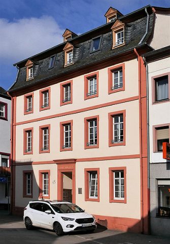 20 m
Town Houses and Commercial Buildings
Haus Kyllstraße 45
No picture
30 m
Field Names
Im Ort unter der Medergass
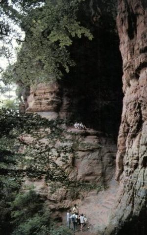 30 m
Place Names / Local History
Gründungssage
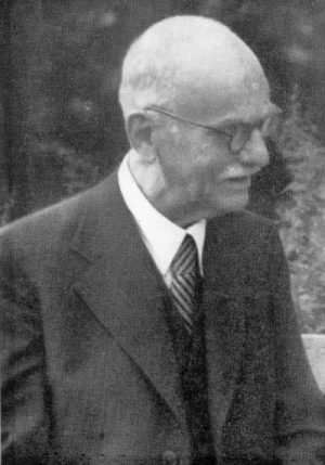 30 m
Chartered Towns
Stadtrechte Ehrang
No picture
40 m
Field Names
Am Brückerthor
No picture
50 m
Street Names
Schrödersecken
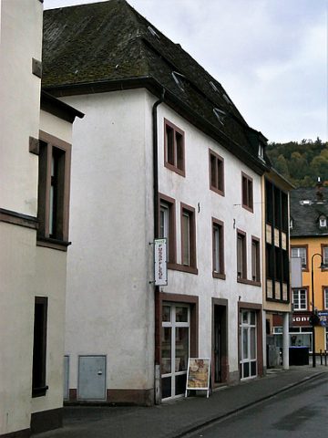 50 m
Town Houses and Commercial Buildings
Eckwohn- und Geschäftshaus
 70 m
Town Houses and Commercial Buildings