Extraction and Processing of Raw Materials · Undated
Ehemalige Gerberei


© GeoBasis-DE / LVermGeoRP, dl-de/by-2-0
There is no picture of this object yet. Do you have a photo that you would like to make available to the Kulturdatenbank? Submit a picture
Description
This description is only available in German.
Translate with Google opens this page in Google Translate (external service)
Verschiedene Hinweise lassen darauf schließen, dass Am scharfen Eck die erste Ehranger Gerberei gestanden hat. [1]
Classification
- Subject area
- Architectural and Art Monuments
- Category
- Economy, Trade and Transport
- Object type
- Extraction and Processing of Raw Materials
- Date
- Undatiert
- Period
- Undated
Location
- District
- City of Trier
- Collective municipality
- Verbandsfreie Gemeinde Trier
- Town
- Trier
- Locality / location
- Ehrang-Quint
- Street
- Oberstraße 42
- Field name
- Ortslage
- Coordinates
- WGS 84: 49.810100, 6.682450 (Position: exact) WGS 84: 49° 48′ 36.4″ N, 6° 40′ 56.8″ E UTM 32 (ETRS89): E 333262 · N 5520094
Sources
Data sources
- [1] Werner Schuhn: Die Ehranger Straßen. Geschichte und Namen, besondere Merkmale und Gebäude. Ehrang Ortszentrum -Straßenkarte- gezeichnet von Hein H. Grundhöfer. In: Ehranger Heimat, Neuauflage. Band 6: Jahrgänge 1969-1972.
On the internet
Last edited: 19 Jun 2017 Object ID: 43069
https://kulturdb.de/en/objekt/43069-trier-ehemalige-gerberei
Nearby
The nearest objects
Street Names
Am Scharfen Eck
Town Fortifications
Ehemaliges Obertor
 30 m
Wayside Shrines and Stations of the Cross
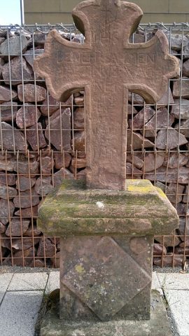
Sogenanntes Kieferkreuz
Street Names
Oberstraße
 40 m
Burial Sites
Grabkreuz vom alten Gemeindefriedhof
Street Names
Mühlenecken
Town Fortifications
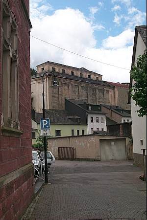
Ehemaliges Mühlenpforte
 80 m
Mills