Viewpoints · Undated
Aussichtspunkt Ruine Wolfer Kloster


Description
This description is only available in German.
Translate with Google opens this page in Google Translate (external service)
Auf Höhenpunkt 229,0 Meter über Normal-Null.
Classification
- Subject area
- Natural Features
- Category
- Viewpoints
- Date
- Undatiert
- Period
- Undated
Location
- District
- Bernkastel-Wittlich
- Town
- Traben-Trarbach
- Locality / location
- Wolf
- Field name
- Aufm Kloster
- Coordinates
- WGS 84: 49.973418, 7.090729 (Position: exact) WGS 84: 49° 58′ 24.3″ N, 7° 05′ 26.6″ E UTM 32 (ETRS89): E 363097 · N 5537422
Sources
Data sources
- [1] Wanderkarten im Maßstab 1:50.000 und 1:25.000.
On the internet
Picture credits
- Picture 1: © Helge Rieder, Konz, 2003
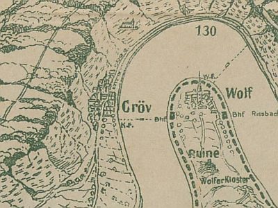
- Picture 2: Carl Hauptmann: Die Mosel von Cochem bis Bernkastel. Bonn, 1910. Landesbibliothekszentrum Rheinland-Pfalz, 2011.
- Picture 3: Wolkenkratzer (https://commons.wikimedia.org/wiki/File:Traben-Trarbach_-_Wolf,_Wolfer_Klosterruine.JPG), „Traben-Trarbach - Wolf, Wolfer Klosterruine“, https://creativecommons.org/licenses/by-sa/3.0/legalcode
Last edited: 18 Apr 2016 Object ID: 4307
https://kulturdb.de/en/objekt/4307-traben-trarbach-aussichtspunkt-ruine-wolfer-kloster
Nearby
The nearest objects
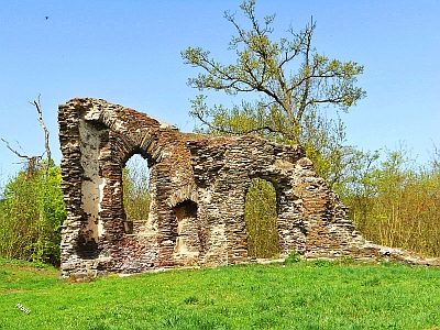 30 m
Monastic Complexes
Ruine der Liebfrauenkirche
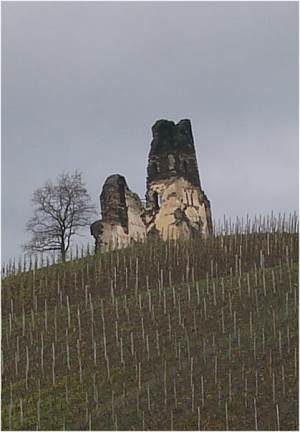 30 m
Hilltop Castles
Reste einer römischen Höhenbefestigung
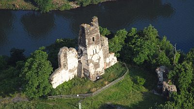 60 m
Field Names
Aufm Kloster
No picture
160 m
Vineyard Sites
Klosterberg
No picture
300 m
Shooting Ranges
Ehemaliger Schießstand
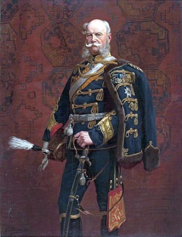 410 m
Commemorative Plantings
Kaisergarten
No picture
450 m
Vineyard Sites
Höhl
 490 m
Ferries