Field Names · Undated
Unter dem Rodbüsch


© GeoBasis-DE / LVermGeoRP, dl-de/by-2-0
There is no picture of this object yet. Do you have a photo that you would like to make available to the Kulturdatenbank? Submit a picture
Description
This description is only available in German.
Translate with Google opens this page in Google Translate (external service)
Classification
- Subject area
- History
- Category
- Field Names
- Date
- Undatiert
- Period
- Undated
Location
- District
- Trier-Saarburg
- Collective municipality
- Trier-Land
- Municipality
- Zemmer
- Locality / location
- Daufenbach
- Field name
- Unter dem Rodbüsch
- Coordinates
- WGS 84: 49.874782, 6.642486 (Position: exact) WGS 84: 49° 52′ 29.2″ N, 6° 38′ 32.9″ E UTM 32 (ETRS89): E 330613 · N 5527374
Sources
Data sources
- [1] Heinrich Dittmaier: Rheinische Flurnamen. Ludwig Röhrscheid Verlag, Bonn, 1963.
- [2] Rheinisches Wörterbuch http://www.woerterbuchnetz.de/cgi-bin/WBNetz/wbgui_py?sigle=NRhWB&l…
On the internet
Last edited: 25 Jun 2017 Object ID: 43139
https://kulturdb.de/en/objekt/43139-zemmer-unter-dem-rodbuesch
Nearby
The nearest objects
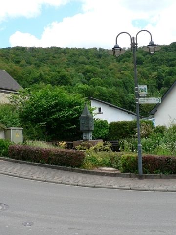 230 m
Works of Art
Dorfbrunnen
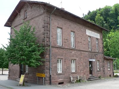 230 m
Railways
Stationsgebäude der Kyllbahn
 240 m
Place Names / Local History
Erste Erwähnung als Fundus Rivus
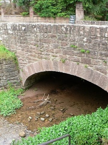 250 m
Road Transport
Straßenbrücke
 260 m
Chapels
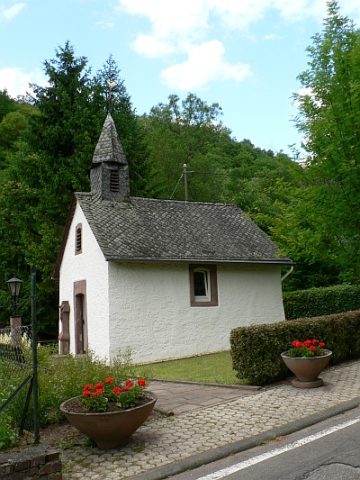
Kapelle
 260 m
Chapels
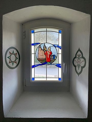
Kapelle - Ausstattung
 260 m
Wayside Shrines and Stations of the Cross
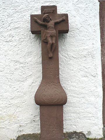
Schaftkreuz an der katholischen Kapelle
Field Names