Field Names · Undated
Im Rothert


© GeoBasis-DE / LVermGeoRP, dl-de/by-2-0
There is no picture of this object yet. Do you have a photo that you would like to make available to the Kulturdatenbank? Submit a picture
Description
This description is only available in German.
Translate with Google opens this page in Google Translate (external service)
Flurnamen: Rod – Röder
ROD (Roth, Rott, Rath, Röth, Ray, Roy; Diminutiv Rödchen, Rädchen, Röttgen, Rötchen; Plural Röder, Rotter, Rother, Ruder) – Bedeutung: Stelle einer Rodung zum Zwecke der Flurerweiterung oder der Siedlung. [1]
Classification
- Subject area
- History
- Category
- Field Names
- Date
- Undatiert
- Period
- Undated
Location
- District
- Eifelkreis Bitburg-Prüm
- Collective municipality
- Bitburger Land
- Municipality
- Eßlingen
- Locality / location
- Badenborn
- Field name
- Im Rothert
- Coordinates
- WGS 84: 49.906626, 6.519491 (Position: exact) WGS 84: 49° 54′ 23.9″ N, 6° 31′ 10.2″ E UTM 32 (ETRS89): E 321895 · N 5531199
Sources
Data sources
- [1] Dittmaier, Heinrich: Rheinische Flurnamen. Ludwig Röhrscheid Verlag, Bonn, 1963.
On the internet
Last edited: 25 Jun 2017 Object ID: 43230
https://kulturdb.de/en/objekt/43230-esslingen-im-rothert
Nearby
The nearest objects
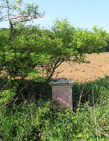 270 m
Wayside Shrines and Stations of the Cross
Wegekreuz(stumpf)
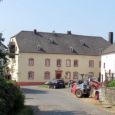 270 m
Farmhouses and Farm Buildings
Hof Badenborn - Streuhof
 290 m
Place Names / Local History
Hof Badenborn - Geschichte
Field Names
Im Grund
300 m
Chapels
Hof Badenborn - Hofkapelle
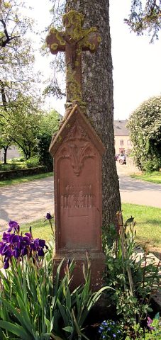 320 m
Wayside Shrines and Stations of the Cross
Hof Badenborn - Sandsteinkreuz
Field Names
In der Acht
Field Names