Ironworks · Neoclassicism
Eisenhüttensiedlung
Wüstung


© GeoBasis-DE / LVermGeoRP, dl-de/by-2-0
There is no picture of this object yet. Do you have a photo that you would like to make available to the Kulturdatenbank? Submit a picture
Description
This description is only available in German.
Translate with Google opens this page in Google Translate (external service)
Im Bereich einer römischen Villa rustica wurden große Mengen Eisenschlacken im Zusammenhang mit Keramik des 14. / 15. Jahrhundert gefunden, die von einer mittelalterlichen Eisenschmelze stammen muss.
Classification
- Subject area
- Archaeological Monuments
- Category
- Economy, Trade and Transport
- Object type
- Ironworks
- Date
- Circa 1750 bis 1850
- Period
- Neoclassicism
Location
- District
- Eifelkreis Bitburg-Prüm
- Collective municipality
- Verbandsfreie Gemeinde Bitburg
- Town
- Bitburg
- Locality / location
- Mötsch
- Field name
- Auf Mühlenberg
- Coordinates
- WGS 84: 49.971611, 6.558659 (Position: exact) WGS 84: 49° 58′ 17.8″ N, 6° 33′ 31.2″ E UTM 32 (ETRS89): E 324942 · N 5538331
Sources
Data sources
- Janssen, W.: Studien zur Wüstungsfrage im fränkischen Altsiedelland zwischen Rhein, Mosel und Eifelnordrand. 2 Bände. Text u. Katalog, 1975.
On the internet
Last edited: 20 Apr 2014 Object ID: 433
https://kulturdb.de/en/objekt/433-bitburg-eisenhuettensiedlung
Nearby
The nearest objects
Field Names
Auf der Hasenbach
Field Names
Lohberg
Settlements
Villa Folker
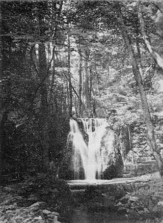 360 m
Waterfalls
Albachtal östlich Bitburg
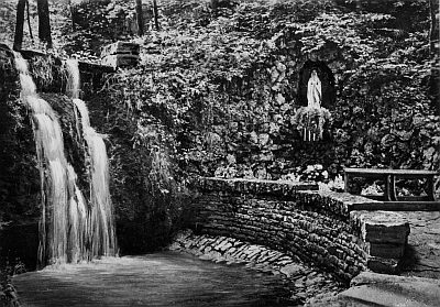 430 m
Marian Grottoes
Mariengrotte bei der Albachmühle
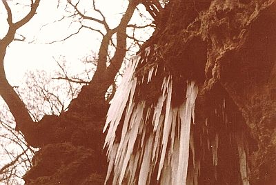 440 m
Caves
Tropfsteinhöhle mit Wasserfall
Field Names
Auf dem gebrannten Berg
Field Names