Viewpoints · Undated
Aussichtspunkt südwestlich der Ortslage


© GeoBasis-DE / LVermGeoRP, dl-de/by-2-0
There is no picture of this object yet. Do you have a photo that you would like to make available to the Kulturdatenbank? Submit a picture
Classification
- Subject area
- Natural Features
- Category
- Viewpoints
- Date
- Undatiert
- Period
- Undated
Location
- District
- Eifelkreis Bitburg-Prüm
- Collective municipality
- Südeifel
- Municipality
- Irrel
- Field name
- In Panz
- Coordinates
- WGS 84: 49.834829, 6.443945 (Position: exact) WGS 84: 49° 50′ 05.4″ N, 6° 26′ 38.2″ E UTM 32 (ETRS89): E 316198 · N 5523401
Sources
Data sources
- [1] Wanderkarten im Maßstab 1:50.000 und 1:25.000.
On the internet
Last edited: 21 Nov 2007 Object ID: 4374
https://kulturdb.de/en/objekt/4374-irrel-aussichtspunkt-suedwestlich-der-ortslage
Nearby
The nearest objects
No picture
90 m
Field Names
Im obersten Grund
No picture
190 m
Field Names
Im Grund
No picture
280 m
Natural Fortresses
Ferschweiler Plateau
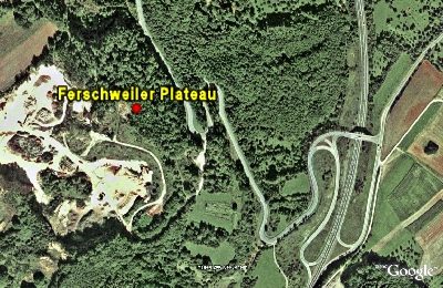 320 m
Natural Fortresses
Ferschweiler Plateau - Langenberg (Sandgrube)
No picture
350 m
Fortresses and Bunkers
Westwall - Sanitätsstand
No picture
450 m
Fortresses and Bunkers
Westwall - Artillerie Beobachter-Stand
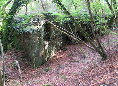 540 m
Fortresses and Bunkers
Westwall - Doppelschartenstand
No picture
590 m
Fortresses and Bunkers