Field Names · Undated
Unter dem Krischelndorn


© GeoBasis-DE / LVermGeoRP, dl-de/by-2-0
There is no picture of this object yet. Do you have a photo that you would like to make available to the Kulturdatenbank? Submit a picture
Description
This description is only available in German.
Translate with Google opens this page in Google Translate (external service)
Krichel, Krischel – Bedeutung: An der Mosel und in der Westeifel Krieke, Kriekel 'Schlehen-, Griechenpflaume, Haferschlehe' (RhWb IV, 1506 f.) und auch die verwilderte Stachelbeere; mittelhochdeutsch krieche, althochdeutsch criehpoum. [...] In Flurnamen liegt meist wohl dieses Wort vor. [1]
Classification
- Subject area
- History
- Category
- Field Names
- Date
- Undatiert
- Period
- Undated
Location
- District
- Bernkastel-Wittlich
- Collective municipality
- Bernkastel-Kues
- Municipality
- Lieser
- Field name
- Unter dem Krischelndorn
- Coordinates
- WGS 84: 49.921670, 7.023430 (Position: exact) WGS 84: 49° 55′ 18.0″ N, 7° 01′ 24.3″ E UTM 32 (ETRS89): E 358120 · N 5531795
Sources
Data sources
- [1] Dittmaier, Heinrich: Rheinische Flurnamen. Ludwig Röhrscheid Verlag, Bonn, 1963.
On the internet
Last edited: 29 Jun 2017 Object ID: 43963
https://kulturdb.de/en/objekt/43963-lieser-unter-dem-krischelndorn
Nearby
The nearest objects
Wayside Shrines and Stations of the Cross
Wegekreuz
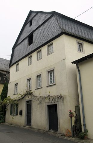 180 m
Farmhouses and Farm Buildings
Wohnhaus
Field Names
Weideborn
Field Names
Hostert
Observatories
Aussichtspunkt am Duftgarten
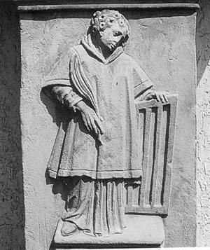 290 m
Wayside Shrines and Stations of the Cross
Bildstock mit Pietà-Relief
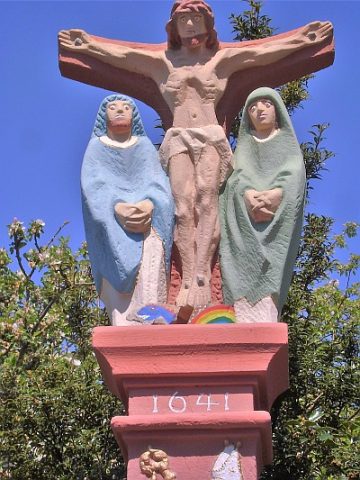 290 m
Wayside Shrines and Stations of the Cross
Matthias Glabus-Kreuz
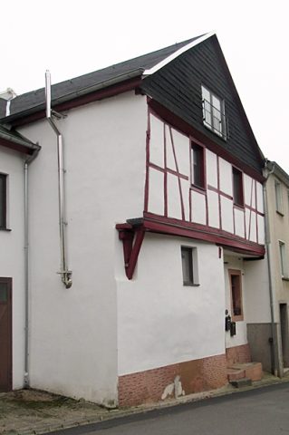 310 m
Farmhouses and Farm Buildings