Altars · 20th Century
Zerstörter Altar


Description
This description is only available in German.
Translate with Google opens this page in Google Translate (external service)
Der Altar gehörte zu einem Wochenendhaus in der Nähe. [1]
Classification
- Subject area
- Architectural and Art Monuments
- Category
- Religious Buildings
- Object type
- Altars
- Date
- Um 1980
- Period
- 20th Century
Location
- District
- Trier-Saarburg
- Collective municipality
- Trier-Land
- Municipality
- Trierweiler
- Locality / location
- Sirzenich
- Field name
- An Webersgarten
- Coordinates
- WGS 84: 49.758059, 6.590495 (Position: exact) WGS 84: 49° 45′ 29.0″ N, 6° 35′ 25.8″ E UTM 32 (ETRS89): E 326461 · N 5514517
Sources
Data sources
- [1] Lothar Zimmer, Trierweiler-Sirzenich und Köln, 2024.
On the internet
Picture credits
Last edited: 17 Dec 2024 Object ID: 43981
https://kulturdb.de/en/objekt/43981-trierweiler-zerstoerter-altar
Nearby
The nearest objects
 80 m
Washing Places
Waschplatz unter der Seiferbrücke
No picture
110 m
Hermitages
Paterbude im Busental
No picture
140 m
Find Sites
Fundstreuung
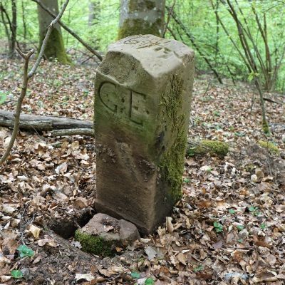 300 m
Surveying
Historischer Grenzstein
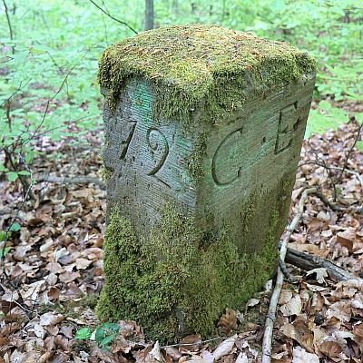 330 m
Surveying
Historischer Grenzstein
No picture
340 m
Field Names
Am Grunderweg
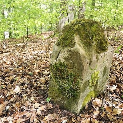 370 m
Surveying
Historischer Grenzstein
No picture
380 m
Field Names