Wayside Shrines and Stations of the Cross · Renaissance
Wegekreuz


Description
This description is only available in German.
Translate with Google opens this page in Google Translate (external service)
Inschrift am Schaft:
1655
D•Z•MAR
Classification
- Subject area
- Architectural and Art Monuments
- Category
- Religious Buildings
- Object type
- Wayside Shrines and Stations of the Cross
- Date
- 1655
- Period
- Renaissance
Location
- District
- Trier-Saarburg
- Collective municipality
- Schweich an der römischen Weinstraße
- Town
- Schweich
- Locality / location
- Issel
- Street
- Vor Zum Meulenwald 2
- Field name
- Ortslage
- Coordinates
- WGS 84: 49.820714, 6.731782 (Position: exact) WGS 84: 49° 49′ 14.6″ N, 6° 43′ 54.4″ E UTM 32 (ETRS89): E 336847 · N 5521165
Sources
Data sources
- [1] Jörg Busch, Trier-Biewer, 2017.
On the internet
Picture credits
Last edited: 25 Jun 2017 Object ID: 43988
https://kulturdb.de/en/objekt/43988-schweich-wegekreuz
Nearby
The nearest objects
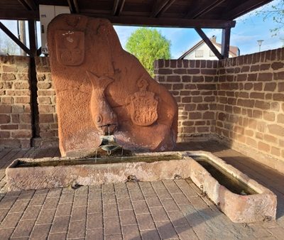 200 m
Fountains and Wells
Laufbrunnen
No picture
200 m
Field Names
In der Olk
No picture
210 m
Farmhouses and Farm Buildings
Quereinhaus
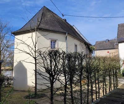 220 m
Chapels
Ehemalige Hofkapelle Sankt Luzia
No picture
220 m
Farmhouses and Farm Buildings
Isseler Hof
No picture
350 m
Jewish History
Jüdische Geschichte Issel
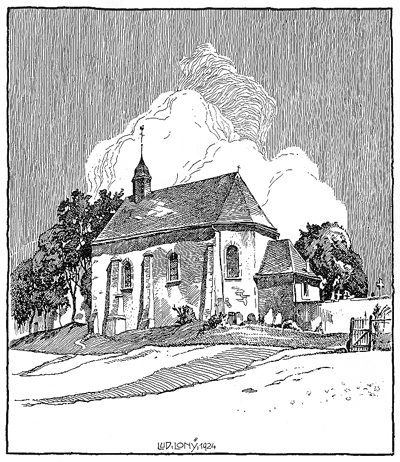 350 m
Historic Townscapes
Denkmalzone Moselufer
No picture
350 m
Field Names