Markers and Monuments · Undated
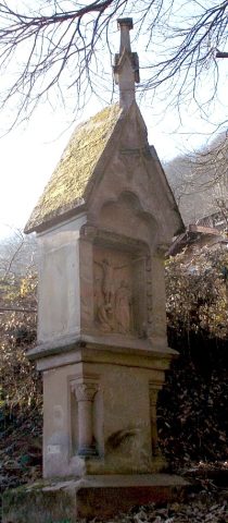
Felszeichnung am Pulsberg


Description
This description is only available in German.
Translate with Google opens this page in Google Translate (external service)
Felszeichnung auf halber Höhe zwischen Maria-Hilf-Kapelle und Mariensäule. [1]
Classification
- Subject area
- Architectural and Art Monuments
- Category
- Markers and Monuments
- Date
- Undatiert
- Period
- Undated
Location
- District
- City of Trier
- Collective municipality
- Verbandsfreie Gemeinde Trier
- Town
- Trier
- Locality / location
- Trier-West/Pallien
- Street
- Himmelsleiter
- Field name
- Pulsberg
- Coordinates
- WGS 84: 49.759450, 6.620730 (Position: exact) WGS 84: 49° 45′ 34.0″ N, 6° 37′ 14.6″ E UTM 32 (ETRS89): E 328644 · N 5514602
Sources
Data sources
- [1] Jörg Busch, Trier-Biewer, 2017.
On the internet
de.wikipedia.org/wiki/Trier-West/Pallien
Picture credits
Last edited: 9 Jul 2017 Object ID: 44001
https://kulturdb.de/en/objekt/44001-trier-west-pallien-felszeichnung-am-pulsberg
Nearby
The nearest objects
Chestnut Trees
Esskastanie
 50 m
Firs
Hemlockstanne
60 m
Firs
Hemlockstanne
 60 m
Chapels
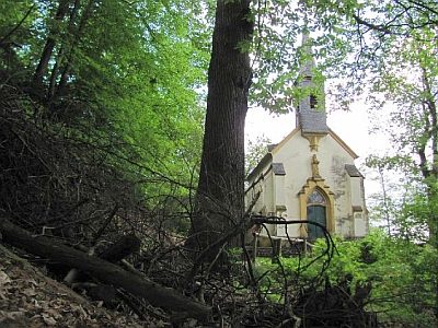
Maria-Hilf-Kapelle
 70 m
Wayside Shrines and Stations of the Cross
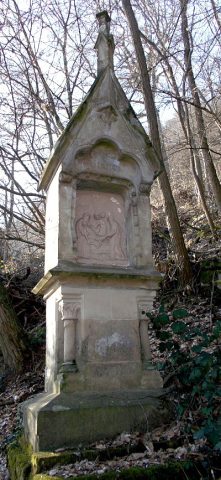
Weg der Sieben Schmerzen Mariä - 7. Station
 70 m
Wayside Shrines and Stations of the Cross
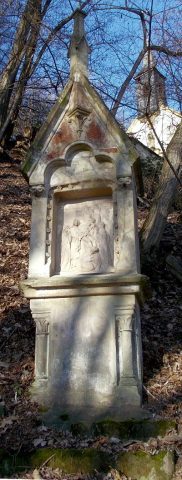
Weg der Sieben Schmerzen Mariä - 6. Station
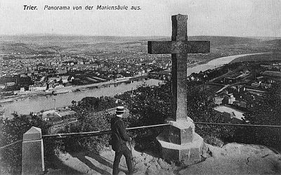 100 m
Wayside Shrines and Stations of the Cross
Sogenanntes Metzgerskreuzchen
 110 m
Wayside Shrines and Stations of the Cross