Wayside Shrines and Stations of the Cross · Undated
Wegekreuz an der Kreisstraße 1


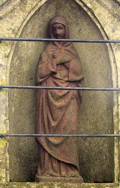
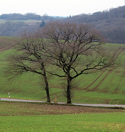
Description
This description is only available in German.
Translate with Google opens this page in Google Translate (external service)
Classification
- Subject area
- Architectural and Art Monuments
- Category
- Religious Buildings
- Object type
- Wayside Shrines and Stations of the Cross
- Date
- Undatiert
- Period
- Undated
Location
- District
- Trier-Saarburg
- Collective municipality
- Trier-Land
- Municipality
- Trierweiler
- Locality / location
- Udelfangen
- Field name
- Unter Michelhölzgen
- Coordinates
- WGS 84: 49.769590, 6.552100 (Position: exact) WGS 84: 49° 46′ 10.5″ N, 6° 33′ 07.6″ E UTM 32 (ETRS89): E 323738 · N 5515889
Sources
Data sources
- [1] Jörg Busch, Trier-Biewer, 2017.
- [2] Michael Grün, Trier, 2025.
On the internet
Picture credits
Last edited: 18 Feb 2025 Object ID: 44012
https://kulturdb.de/en/objekt/44012-trierweiler-wegekreuz-an-der-kreisstrasse-1
Nearby
The nearest objects
No picture
440 m
Field Names
Auf Sehr am Rödergraben
 450 m
Wayside Shrines and Stations of the Cross
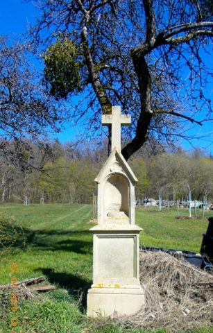
Wegekreuz
No picture
490 m
Fortresses and Bunkers
Westwall - Bunker
 540 m
Wayside Shrines and Stations of the Cross
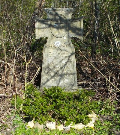
Gedenkkreuz
No picture
590 m
Field Names
Am Rödergraben
No picture
630 m
Field Names
Im Anwender am Rödergraben
No picture
740 m
Roman Tombs
Grabfund
No picture
800 m
Farmhouses and Farm Buildings