Deserted Settlements · Neoclassicism
Ehemalige Siedlung Fleisbach


© GeoBasis-DE / LVermGeoRP, dl-de/by-2-0
There is no picture of this object yet. Do you have a photo that you would like to make available to the Kulturdatenbank? Submit a picture
Description
This description is only available in German.
Translate with Google opens this page in Google Translate (external service)
Wallendorf (576 Einwohner) mit der untersten Gaymühle (7 Einwohne) und einer 'Fleisbach' genannten Hütte (5 Einwohner). [1]
Classification
- Subject area
- Archaeological Monuments
- Category
- Settlements
- Object type
- Deserted Settlements
- Date
- 1843
- Period
- Neoclassicism
Location
- District
- Eifelkreis Bitburg-Prüm
- Collective municipality
- Südeifel
- Municipality
- Wallendorf
- Field name
- In der Fleisbach
- Coordinates
- WGS 84: 49.869170, 6.348980 (Position: within the village) WGS 84: 49° 52′ 09.0″ N, 6° 20′ 56.3″ E UTM 32 (ETRS89): E 309506 · N 5527455
Sources
Data sources
- [1] Seite 'Bürgermeisterei Wallendorf'. In: Wikipedia, Die freie Enzyklopädie. Bearbeitungsstand: 25. Mai 2016, 20:51 UTC. URL: https://de.wikipedia.org/w/index.php?title=B%C3%Bcrgermeisterei_Wal… (Abgerufen:17. Juli 2017, 22:30 UTC)
On the internet
Last edited: 17 Jul 2017 Object ID: 44014
https://kulturdb.de/en/objekt/44014-wallendorf-ehemalige-siedlung-fleisbach
Nearby
The nearest objects
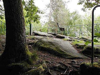 510 m
Rocks
Kreuzlay
Viewpoints
Aussichspunkt Kreuzlay
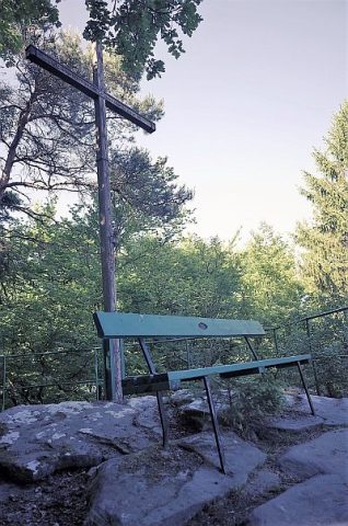 540 m
Wayside Shrines and Stations of the Cross
Kreuz auf der Kreuzlay
Field Names
In der Mehrendell
Fortresses and Bunkers
Westwall - Schartenstand
Fortresses and Bunkers
Westwall - Sanitätsstand
Field Names
Mehrendell und Frohnkopf
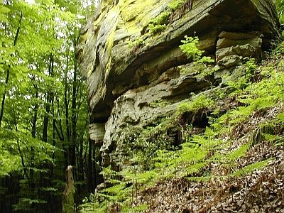 840 m
Rocks