Battlefields · 20th Century
Ehemalige V1-Stellung


© GeoBasis-DE / LVermGeoRP, dl-de/by-2-0
There is no picture of this object yet. Do you have a photo that you would like to make available to the Kulturdatenbank? Submit a picture
Description
This description is only available in German.
Translate with Google opens this page in Google Translate (external service)
Eine weitere Abschussrampe stand an der Autobahn in Höhe des Parkplatzes "Flussbach". Dort ist eines Sonntagsmorgens eine V1 auf der Rutschbahn explodiert. Mit der näher rückenden Front zog die V1-Einheit ab, und der Spuk war vorbei. [1]
Classification
- Subject area
- History
- Category
- Place Names / Local History
- Object type
- Battlefields
- Date
- 1944
- Period
- 20th Century
Location
- District
- Bernkastel-Wittlich
- Collective municipality
- Wittlich-Land
- Municipality
- Greimerath (Bernkastel-Wittlich)
- Locality / location
- Greimerath
- Field name
- Grünenwald rechts der Straße
- Coordinates
- WGS 84: 50.031100, 6.903150 (Position: exact) WGS 84: 50° 01′ 52.0″ N, 6° 54′ 11.3″ E UTM 32 (ETRS89): E 349828 · N 5544195
Sources
Data sources
- [1] Walter Schuh, Greimerath in: http://www.volksfreund.de/nachrichten/region/wittlich/aktuell/Heute…
On the internet
Last edited: 18 Jul 2017 Object ID: 44016
https://kulturdb.de/en/objekt/44016-greimerath-bernkastel-wittlich-ehemalige-v1-stellung
Nearby
The nearest objects
 130 m
Chapels
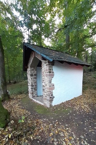
Muttergottes-Kapelle im Grünewald
Extraction and Processing of Raw Materials
Ehemaliger Steinbruch
Wayside Shrines and Stations of the Cross
Wegekreuz
Wayside Shrines and Stations of the Cross
Bildstock am Heiligenborn
Battlefields
Ehemalige V1-Stellung
Viewpoints
Panoramablick
Surveying
Trigonometrisches Signal Auf der Eich
Field Names