Fords · Historicism / Art Nouveau
Ehemalige Furt durch die Kyll


© GeoBasis-DE / LVermGeoRP, dl-de/by-2-0
There is no picture of this object yet. Do you have a photo that you would like to make available to the Kulturdatenbank? Submit a picture
Classification
- Subject area
- Architectural and Art Monuments
- Category
- Economy, Trade and Transport
- Object type
- Fords
- Date
- 1851
Location
- District
- Eifelkreis Bitburg-Prüm
- Town
- Speicher
- Field name
- [Kyll]
- Coordinates
- WGS 84: 49.933660, 6.616610 (Position: exact) WGS 84: 49° 56′ 01.2″ N, 6° 36′ 59.8″ E UTM 32 (ETRS89): E 328963 · N 5533978
Sources
Data sources
- [1] Preußische Kartenaufnahme 1:25000 Uraufnahme (1843-1878), Blatt.: 3428, Bitburg von 1851, © GeoBasis-DE / LVermGeoRP 2016, dl-de/by-2-0, www.lvermgeo.rlp.de
On the internet
Last edited: 31 Jul 2017 Object ID: 44121
https://kulturdb.de/en/objekt/44121-speicher-ehemalige-furt-durch-die-kyll
Nearby
The nearest objects
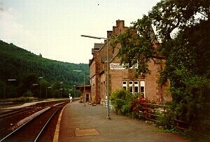 60 m
Railways
Eifelbahn (Denkmalzone)
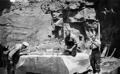 180 m
Extraction and Processing of Raw Materials
Ehemaliger Steinbruch
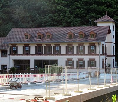 220 m
Catering, Inns and Hotels
Moltkeburg
250 m
Extraction and Processing of Raw Materials
Ehemaliger Steinbruch
No picture
460 m
Extraction and Processing of Raw Materials
Ehemaliger Steinbruch
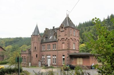 520 m
Railways
Bahnhof Speicher
570 m
Extraction and Processing of Raw Materials
Ehemaliger Steinbruch
No picture
600 m
Wayside Shrines and Stations of the Cross