Viewpoints · Undated
Aussichtspunkt am nördlichen Ortsrand


© GeoBasis-DE / LVermGeoRP, dl-de/by-2-0
There is no picture of this object yet. Do you have a photo that you would like to make available to the Kulturdatenbank? Submit a picture
Description
This description is only available in German.
Translate with Google opens this page in Google Translate (external service)
Auf Höhenpunkt 490,0 Meter über Normal-Null. Am Naturdenkmal Rotbuche. [1] Siehe dazu auch den Datensatz Lauperath - Rotbuche.
Classification
- Subject area
- Natural Features
- Category
- Viewpoints
- Date
- Undatiert
- Period
- Undated
Location
- District
- Eifelkreis Bitburg-Prüm
- Collective municipality
- Arzfeld
- Municipality
- Lauperath
- Field name
- Ortslage
- Coordinates
- WGS 84: 50.088332, 6.341680 (Position: exact) WGS 84: 50° 05′ 18.0″ N, 6° 20′ 30.0″ E UTM 32 (ETRS89): E 309847 · N 5551837
Sources
Data sources
- [1] Wanderkarten im Maßstab 1:50.000 und 1:25.000
On the internet
Last edited: 21 Nov 2007 Object ID: 4434
https://kulturdb.de/en/objekt/4434-lauperath-aussichtspunkt-am-noerdlichen-ortsrand
Nearby
The nearest objects
 80 m
Beeches
Rotbuche
 260 m
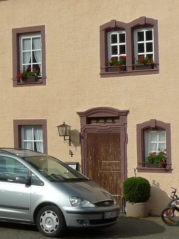
Farmhouses and Farm Buildings
Mayisch-Hof - Barocker Hauseingang
 290 m
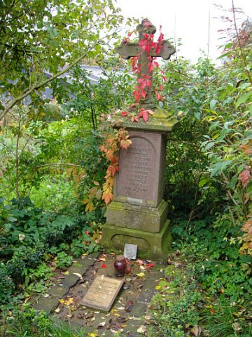
Wayside Shrines and Stations of the Cross
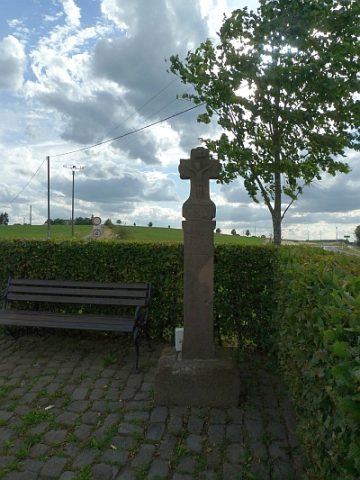
Brand Kreuz
 300 m
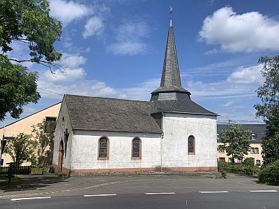
Catholic Churches
Zu den heiligen drei Jungfrauen (1)
 300 m
Catholic Churches
Zu den heiligen drei Jungfrauen (2)
 300 m
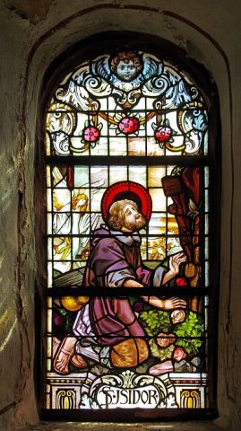
Catholic Churches
Zu den heiligen drei Jungfrauen - Fenster
 330 m
Wayside Shrines and Stations of the Cross
Brühlskreuz
Field Names