Field Names · Undated
Dachslöcher

Description
This description is only available in German.
Translate with Google opens this page in Google Translate (external service)
Dachs – Zu althochdeutsch und mittelhochdeutsch dahs starkes Maskulinum 'Dachs'. Der Name bezieht sich auf bevorzugte Aufenthaltsorte und Bauten des Dachses. [1]
Classification
- Subject area
- History
- Category
- Field Names
- Date
- Undatiert
- Period
- Undated
Location
- District
- Trier-Saarburg
- Collective municipality
- Saarburg-Kell
- Municipality
- Kirf
- Locality / location
- Meurich
- Field name
- Dachslöcher
- Coordinates
- WGS 84: 49.564661, 6.508161 (Position: exact) WGS 84: 49° 33′ 52.8″ N, 6° 30′ 29.4″ E UTM 32 (ETRS89): E 319819 · N 5493213
Sources
Data sources
- [1] © Hessisches Flurnamenarchiv Gießen / Prof. Dr. Hans Ramge
On the internet
saarburg-kell.de/saarburg_kell/Leben%20bei%20uns/Ortsgemeinden/Kirf
Picture credits
- Picture 1: Walter Heubach [1865-1923] https://commons.wikimedia.org/wiki/File:Heubach_badger.jpg
Last edited: 14 Sep 2017 Object ID: 44372
https://kulturdb.de/en/objekt/44372-kirf-dachsloecher
Nearby
The nearest objects
Field Names
Im Spädengrund
Field Names
Im Goldberg
Field Names
Hundsrück
Field Names
In den Dreimorgen
 760 m
Altars
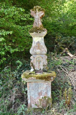
Altarkreuz an der obersten Neumühle
Field Names
In den Längten
Wayside Shrines and Stations of the Cross
Wegekreuz
Field Names