Field Names · Undated
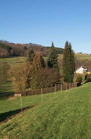
Ellertsgewann


© GeoBasis-DE / LVermGeoRP, dl-de/by-2-0
There is no picture of this object yet. Do you have a photo that you would like to make available to the Kulturdatenbank? Submit a picture
Description
This description is only available in German.
Translate with Google opens this page in Google Translate (external service)
Ellert – Erlengehölz [1]
Classification
- Subject area
- History
- Category
- Field Names
- Date
- Undatiert
- Period
- Undated
Location
- District
- Trier-Saarburg
- Collective municipality
- Saarburg-Kell
- Municipality
- Baldringen
- Field name
- Ellertsgewann
- Coordinates
- WGS 84: 49.610036, 6.689290 (Position: exact) WGS 84: 49° 36′ 36.1″ N, 6° 41′ 21.4″ E UTM 32 (ETRS89): E 333070 · N 5497839
Sources
Data sources
- [1] Dittmaier, Heinrich: Rheinische Flurnamen. Ludwig Röhrscheid Verlag, Bonn, 1963.
On the internet
Last edited: 15 Sep 2017 Object ID: 44402
https://kulturdb.de/en/objekt/44402-baldringen-ellertsgewann
Nearby
The nearest objects
Field Names
Unterste Dörrwiese
Mills
Niederzerfer Mühle an der Ruwer
Field Names
Goldwiesen
Field Names
Auf der Dörrwiese
Monuments
Gedenkstein an der Kreisstraße 145
Field Names
Ellertsgewann
 410 m
Jewish Cemeteries
Jüdischer Friedhof
Field Names