Viewpoints · Undated
Aussichtspunkt am Neuen Weg


Description
This description is only available in German.
Translate with Google opens this page in Google Translate (external service)
Blick auf Ehrang und ins Moseltal bis nach Schweich. Der Weg wurde immer "Neuer Weg" genannt. Er führt oberhalb von Ehrang-Bahnhof vom Layweg bzw. von der Bausch bis zum Wallenbachtal im Wald parallel zur Ehrangerstraße. [1]
Classification
- Subject area
- Natural Features
- Category
- Viewpoints
- Date
- Undatiert
- Period
- Undated
Location
- District
- City of Trier
- Collective municipality
- Verbandsfreie Gemeinde Trier
- Town
- Trier
- Locality / location
- Ehrang-Quint
- Field name
- Schaderberg
- Coordinates
- WGS 84: 49.803560, 6.682220 (Position: exact) WGS 84: 49° 48′ 12.8″ N, 6° 40′ 56.0″ E UTM 32 (ETRS89): E 333223 · N 5519367
Sources
Data sources
- [1] Tobias Schmitt, Trier-Ehrang, 2017.
On the internet
Picture credits
Last edited: 9 Oct 2017 Object ID: 44624
https://kulturdb.de/en/objekt/44624-trier-aussichtspunkt-am-neuen-weg
Nearby
The nearest objects
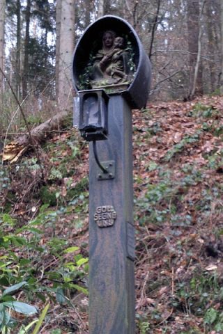 120 m
Wayside Shrines and Stations of the Cross
Vesperbild
Field Names
Schaderberg
Town Houses and Commercial Buildings
Ehemalige Villa Servais
Field Names
In der Wallenbach In der Wallenbach
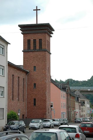 210 m
Protestant Churches
Evangelische Pfarrkirche
Field Names
Schad
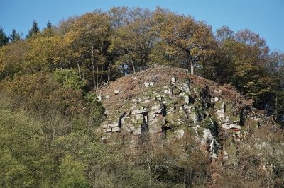 310 m
Viewpoints
Aussichtspunkt Ehranger Kanzel
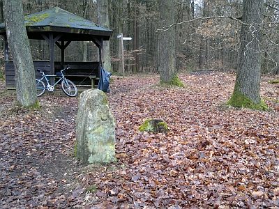 310 m
Surveying