Viewpoints · Undated
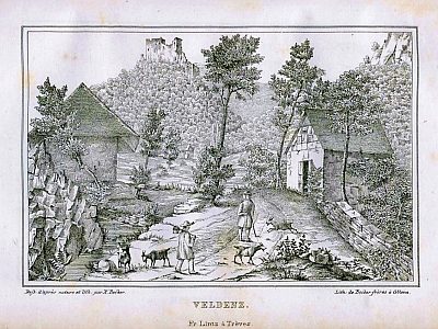
Aussichtspunkt Ruine Schloss Veldenz


© GeoBasis-DE / LVermGeoRP, dl-de/by-2-0
There is no picture of this object yet. Do you have a photo that you would like to make available to the Kulturdatenbank? Submit a picture
Description
This description is only available in German.
Translate with Google opens this page in Google Translate (external service)
Siehe auch den Datensatz: Veldenz - Burgruine Schloss Veldenz. [1]
Die Aufnahme entstand im Jahre 1955 [Redaktion]
Classification
- Subject area
- Natural Features
- Category
- Viewpoints
- Date
- Undatiert
- Period
- Undated
Location
- District
- Bernkastel-Wittlich
- Collective municipality
- Bernkastel-Kues
- Municipality
- Veldenz
- Locality / location
- Thalveldenz
- Field name
- Burgruine von Veldenz
- Coordinates
- WGS 84: 49.883593, 7.039569 (Position: exact) WGS 84: 49° 53′ 00.9″ N, 7° 02′ 22.4″ E UTM 32 (ETRS89): E 359167 · N 5527531
Sources
Data sources
- [1] Wanderkarten im Maßstab 1:50.000 und 1:25.000
On the internet
Last edited: 10 May 2002 Object ID: 4466
https://kulturdb.de/en/objekt/4466-veldenz-aussichtspunkt-ruine-schloss-veldenz
Nearby
The nearest objects
Castles
Burgruine Schloss Veldenz
 50 m
Chartered Towns
Stadtrechte
Farmhouses and Farm Buildings
Wohnhaus
 230 m
Groups of Trees
Alte Buchen und Eichen auf Schieferfelsen
Mills
Röpertsmühle am Veldenzerbach
Wayside Shrines and Stations of the Cross
Wegekreuz
Forest Names
Friedwald
Wayside Shrines and Stations of the Cross