Mills · Baroque / Rococo
Obere Mühle - Wehr


© GeoBasis-DE / LVermGeoRP, dl-de/by-2-0
There is no picture of this object yet. Do you have a photo that you would like to make available to the Kulturdatenbank? Submit a picture
Description
This description is only available in German.
Translate with Google opens this page in Google Translate (external service)
Mahlmühle an der Salm seit etwa 1700. Mahlbetrieb eingestellt 1948. [1]
Classification
- Subject area
- Architectural and Art Monuments
- Object type
- Mills
- Date
- 1700
- Period
- Baroque / Rococo
Location
- District
- Bernkastel-Wittlich
- Collective municipality
- Wittlich-Land
- Municipality
- Eisenschmitt
- Field name
- Unter dem Weg
- Coordinates
- WGS 84: 50.046500, 6.718740 (Position: exact) WGS 84: 50° 02′ 47.4″ N, 6° 43′ 07.5″ E UTM 32 (ETRS89): E 336674 · N 5546294
Sources
Data sources
- [1] Günter Hesse und Wolfgang Schmitt-Kölzer: Manderscheid. Hrsg.: Verbandsgemeinde Manderscheid 1986.
On the internet
Last edited: 20 Oct 2017 Object ID: 44676
https://kulturdb.de/en/objekt/44676-eisenschmitt-obere-muehle-wehr
Nearby
The nearest objects
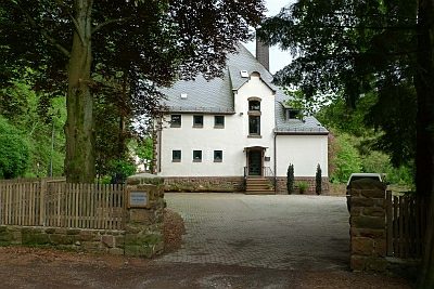 120 m
Forester's Lodges
Forstverwaltung von Berghes
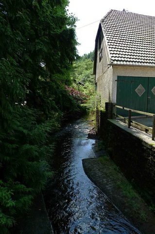 140 m
Extraction and Processing of Raw Materials
Kraftstation am Hämmerchen
Wayside Shrines and Stations of the Cross
Wegekreuz
Mills
Obere Mühle
Farmhouses and Farm Buildings
Wohnhaus
Farmhouses and Farm Buildings
Wirtschaftsgebäude
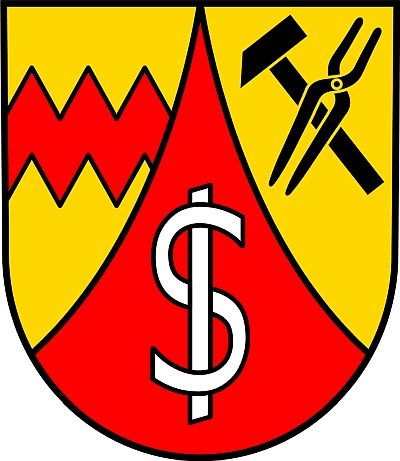 240 m
Coats of Arms
Wappen der Gemeinde Eisenschmitt
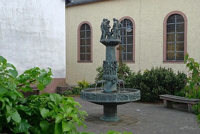 260 m
Works of Art