Mills · Undated
Mühlenwehr


© GeoBasis-DE / LVermGeoRP, dl-de/by-2-0
There is no picture of this object yet. Do you have a photo that you would like to make available to the Kulturdatenbank? Submit a picture
Classification
- Subject area
- Architectural and Art Monuments
- Object type
- Mills
- Date
- Undatiert
- Period
- Undated
Location
- District
- Bernkastel-Wittlich
- Collective municipality
- Wittlich-Land
- Municipality
- Eisenschmitt
- Locality / location
- Eichelhütte
- Field name
- In der obersten Schneidwies
- Coordinates
- WGS 84: 50.037340, 6.737950 (Position: exact) WGS 84: 50° 02′ 14.4″ N, 6° 44′ 16.6″ E UTM 32 (ETRS89): E 338018 · N 5545234
Sources
Data sources
- [1] Hotel Restaurant Spa Molitors Mühle, 2017. http://www.molitors-muehle.de/img/wanderkarte-muehlenpfad-800.jpg
On the internet
Last edited: 20 Oct 2017 Object ID: 44679
https://kulturdb.de/en/objekt/44679-eisenschmitt-muehlenwehr
Nearby
The nearest objects
No picture
80 m
Mills
Molitorsmühle im Salmtal
No picture
150 m
Mills
Ehemalige Mühle
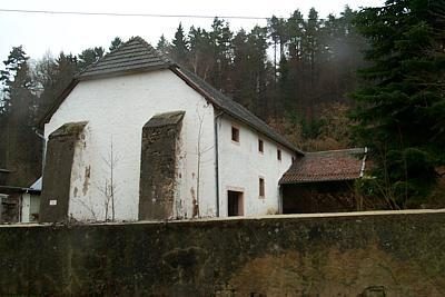 170 m
Town Houses and Commercial Buildings
Eichelhütte - Wirtschaftsgebäude
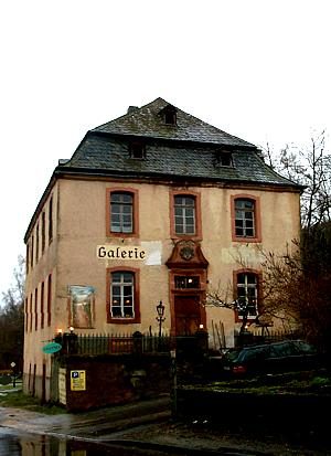 170 m
Town Houses and Commercial Buildings
Eichelhütte - Wohn- und Verwaltungsgebäude
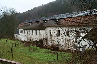 170 m
Ironworks
Hammerwerk der ehemaligen Eichelhütte
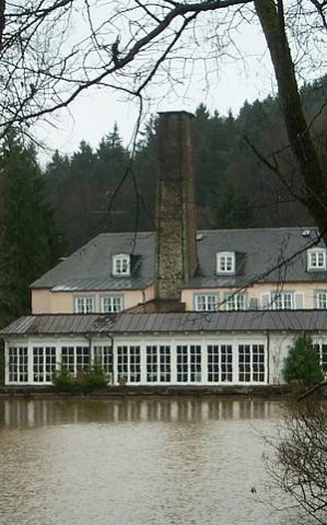 170 m
Ironworks
Hochofen der ehemaligen Eichelhütte
No picture
190 m
Town Houses and Commercial Buildings
Ehemaliges Wirtschaftsgebäude Eichelhütte 2
No picture
190 m
Town Houses and Commercial Buildings