Field Names · Undated
In Minnendell


© GeoBasis-DE / LVermGeoRP, dl-de/by-2-0
There is no picture of this object yet. Do you have a photo that you would like to make available to the Kulturdatenbank? Submit a picture
Description
This description is only available in German.
Translate with Google opens this page in Google Translate (external service)
Delle – Flache, kleine Bodensenkung im Gelände, Talmulde, Schlucht, Hohlweg, besonders kleine Mulde in Acker und Wiese, oft etwas sumpfig, aber ohne fließendes Wasser. [1]
Classification
- Subject area
- History
- Category
- Field Names
- Date
- Undatiert
- Period
- Undated
Location
- District
- Eifelkreis Bitburg-Prüm
- Collective municipality
- Südeifel
- Municipality
- Fischbach-Oberraden
- Locality / location
- Fischbach
- Field name
- In Minnendell
- Coordinates
- WGS 84: 50.023482, 6.349908 (Position: exact) WGS 84: 50° 01′ 24.5″ N, 6° 20′ 59.7″ E UTM 32 (ETRS89): E 310180 · N 5544607
Sources
Data sources
- [1] Heinrich Dittmaier: Rheinische Flurnamen. Ludwig Röhrscheid Verlag, Bonn, 1963.
On the internet
Last edited: 1 Nov 2017 Object ID: 45496
https://kulturdb.de/en/objekt/45496-fischbach-oberraden-in-minnendell
Nearby
The nearest objects
Field Names
In Minnendell
Field Names
Im Winnendell
 590 m
Historic Townscapes
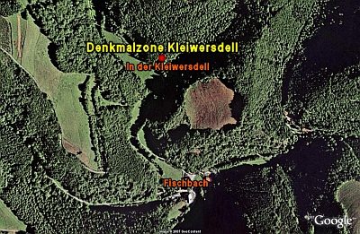
Denkmalzone Kleiwersdell
Cross-Ridge Ramparts
Abschnittsbefestigung
Field Names
Großepesch
Field Names
Im Haselsberg
Viewpoints
Aussichtspunkt am Hungerberg
Field Names